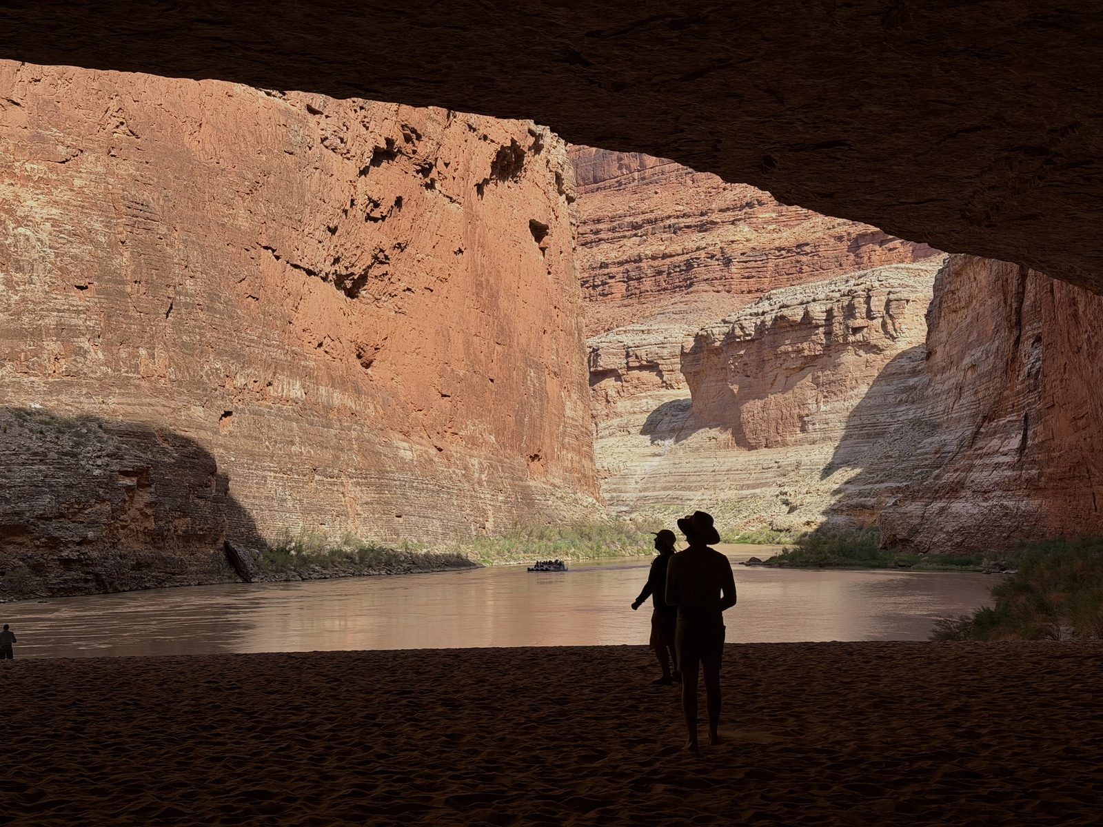
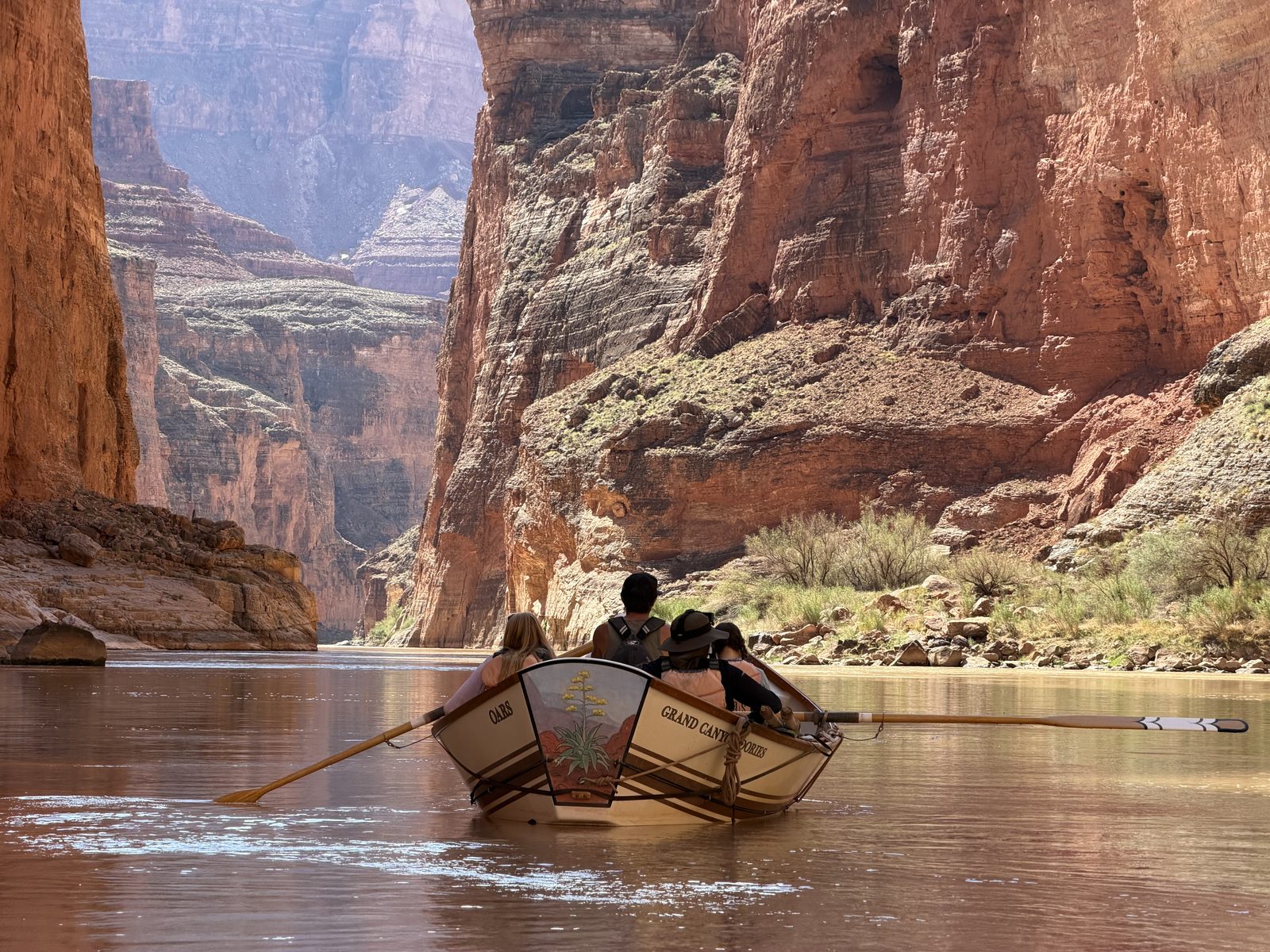
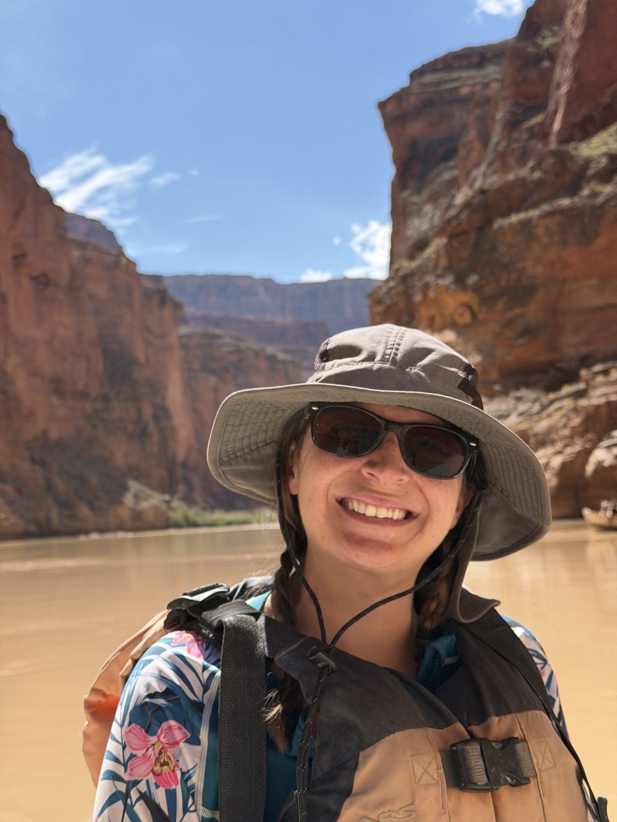
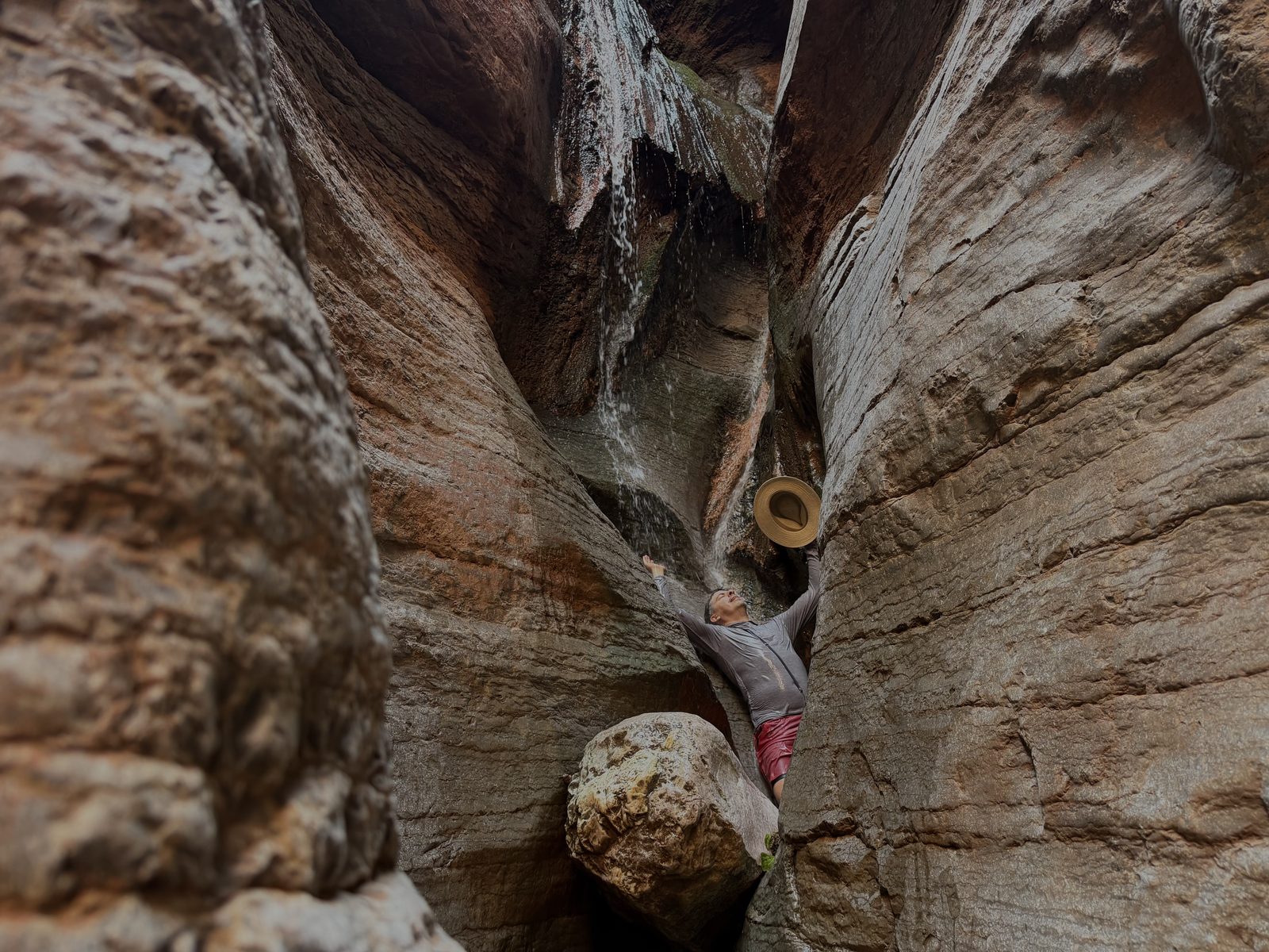
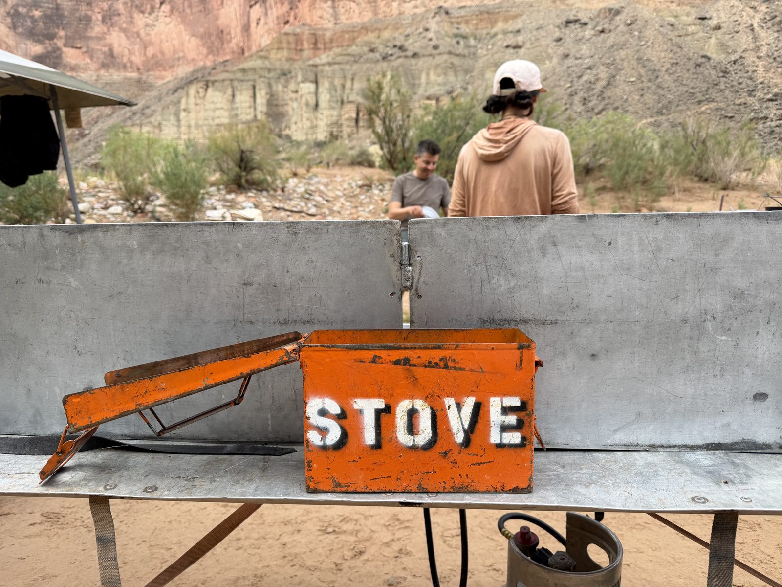
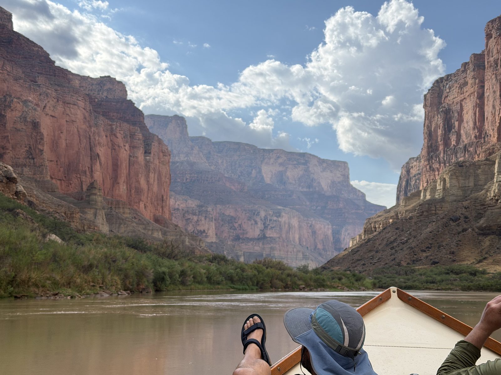
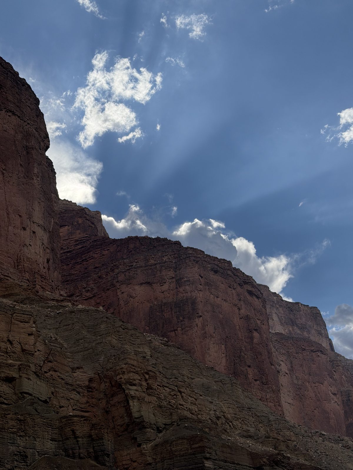
Lees Ferry → Whitmore Wash · August 25 – September 7, 2026
Asters in the Ditch
Grand Canyon, 2026
There’s this river. The Colorado. The one that quenches nearly 40 million of us. That we’ve diverted, dammed, tamed, wrecked, drained, and… emptied. Short of the ocean.
Red.
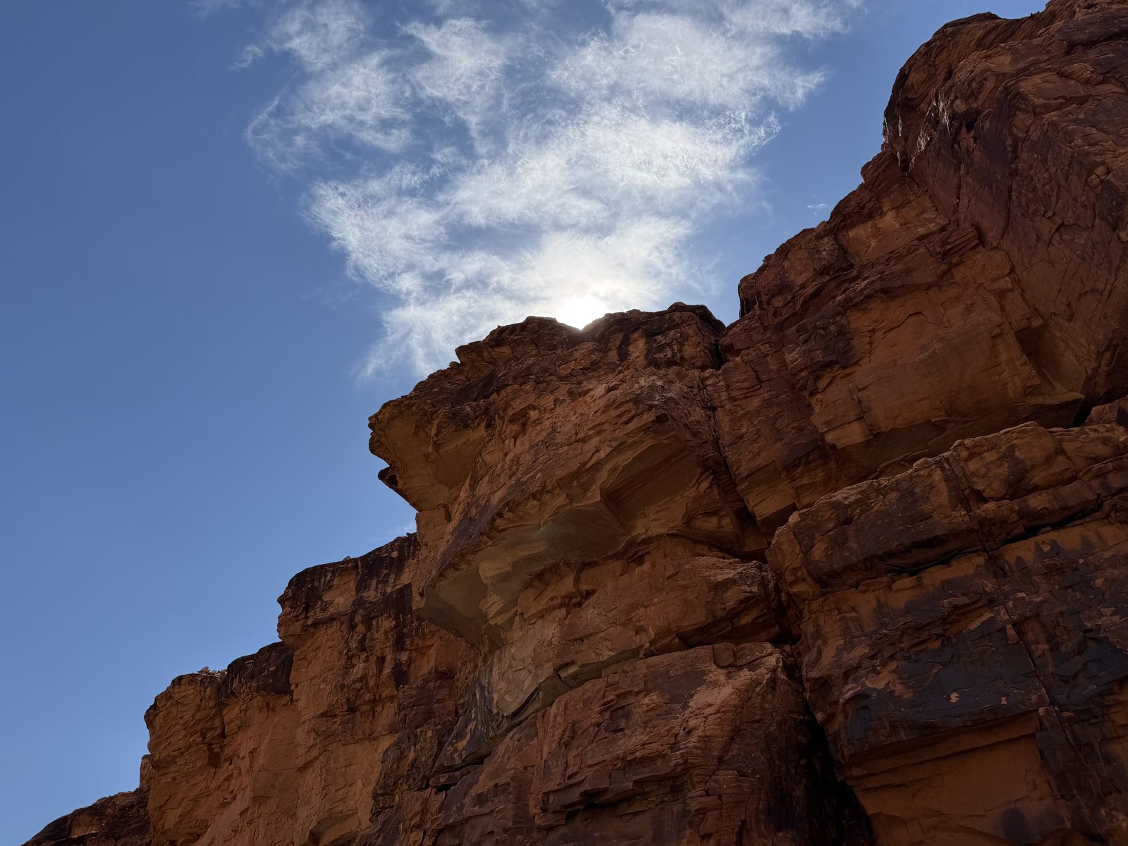
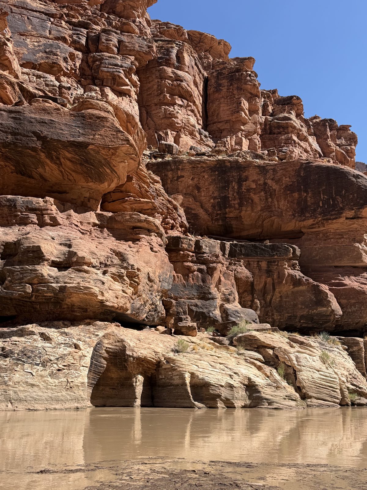
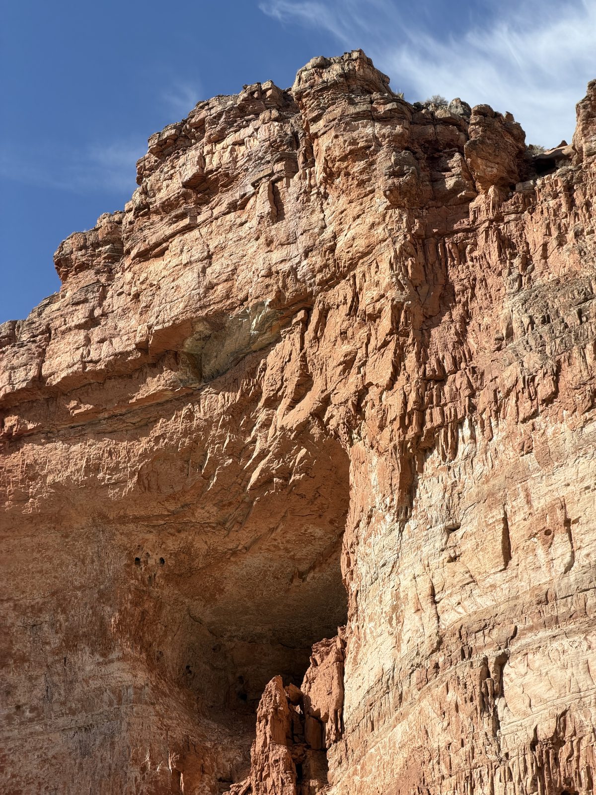
There’s this place. The Grand Canyon. Where the monsoons carve billions of years into the earth with rapid and silt. America’s greatest park.
The Ditch.
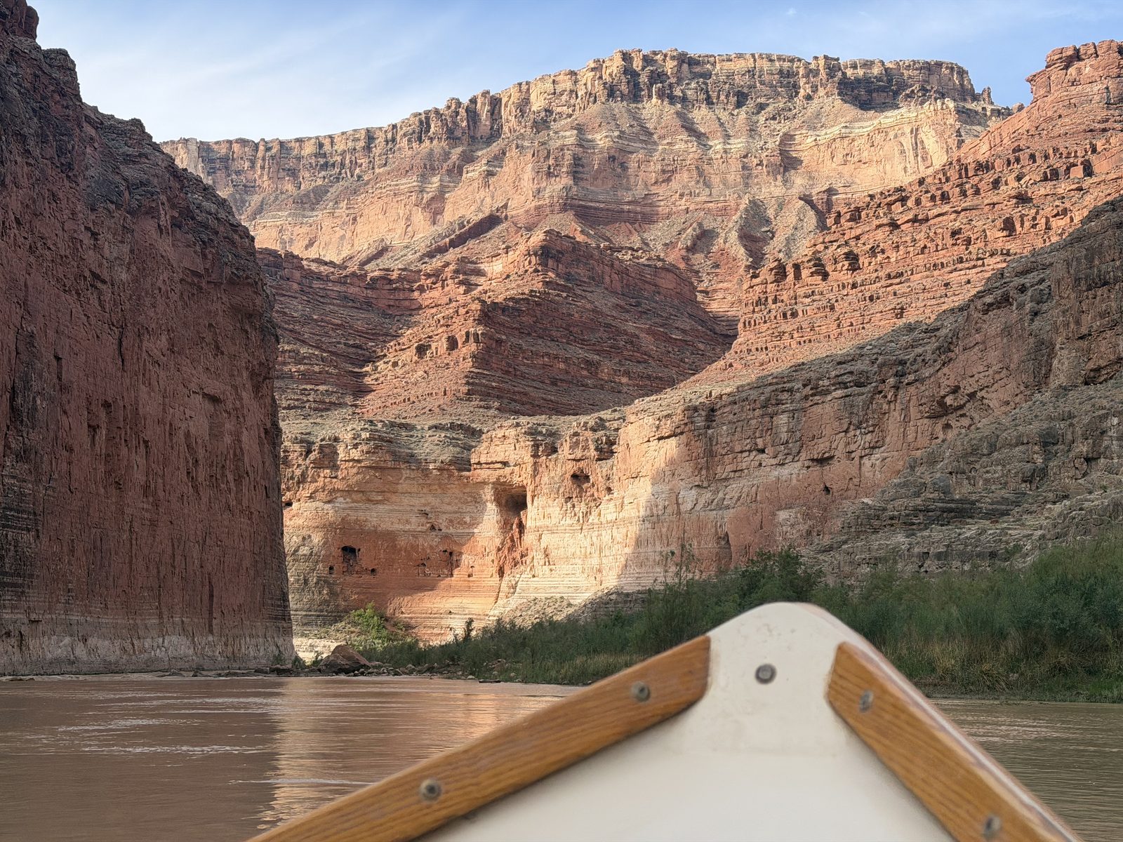
And there is this thing you can do. A trip you can take. An expedition. You fill rafts with people and goods and set off! Into the canyon, along the river, to be hers for weeks on end.
The river, as run · 187 miles at one scale, numbered by the thirteen days it took, each ending at a camp (●). The side canyons we walked are ◆ above; every rapid is a tick below, taller for a higher rating, rust and named at 7 or above. The dashed amber line is the mouth of Bright Angel Creek. The colored strip is the rock at river level.camps and hikes from photograph geotags · rapids and geology from the river guide
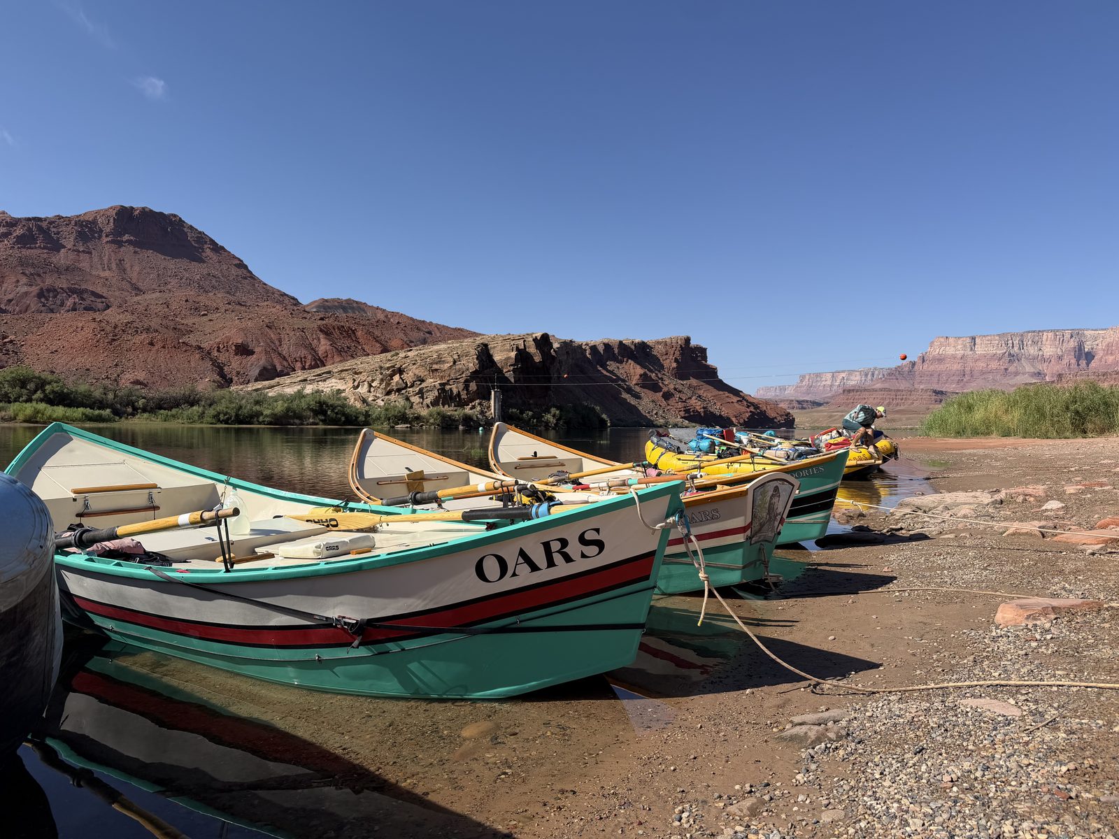
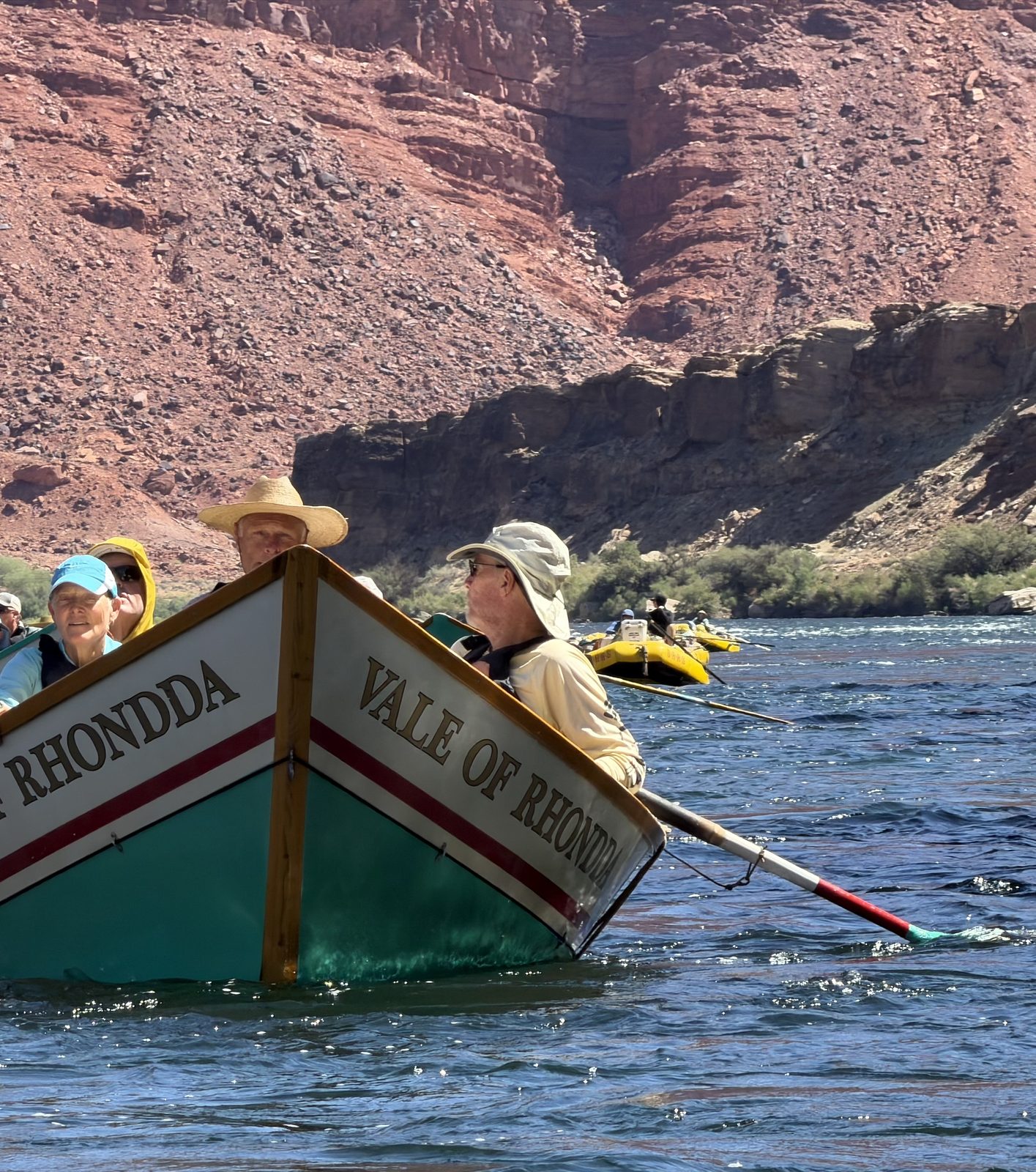
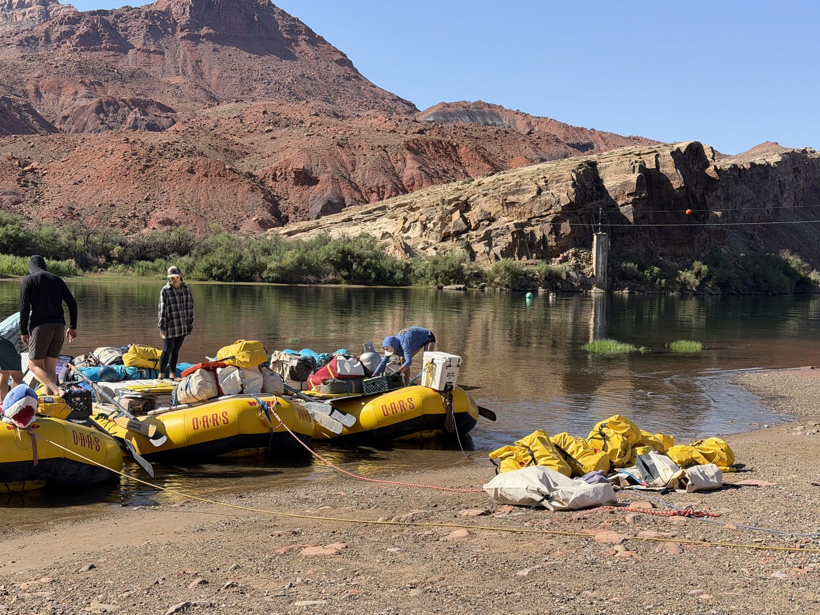
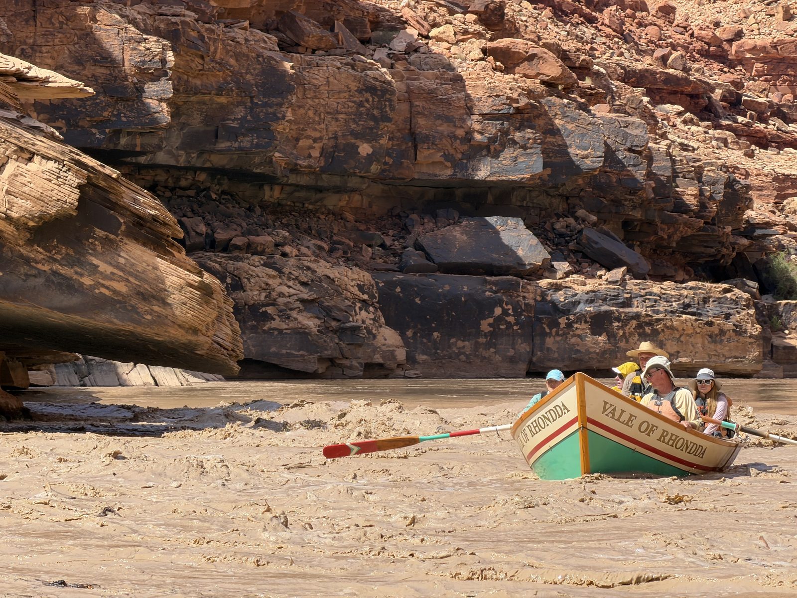
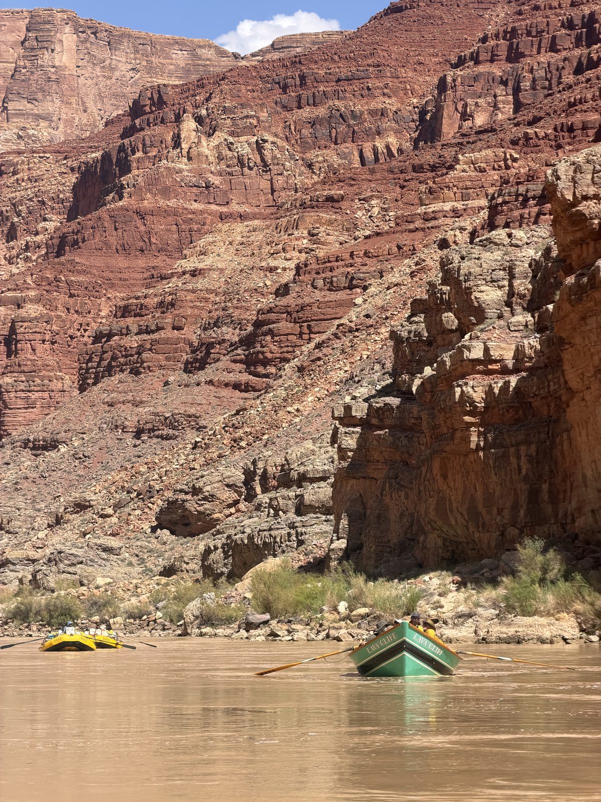
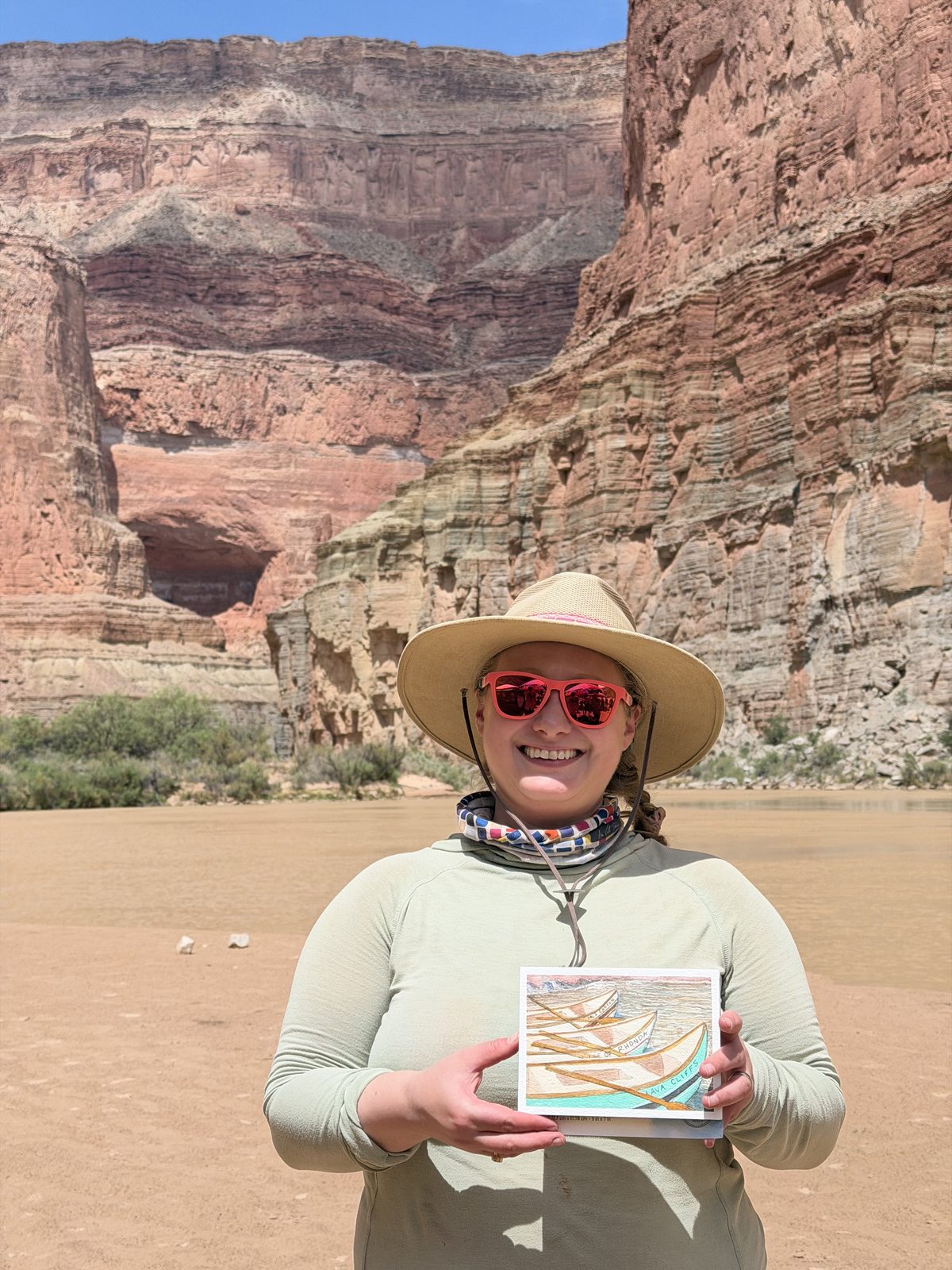
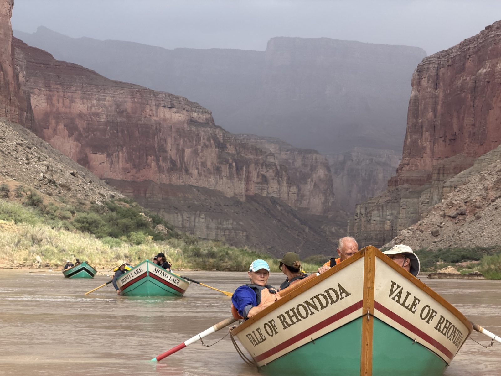
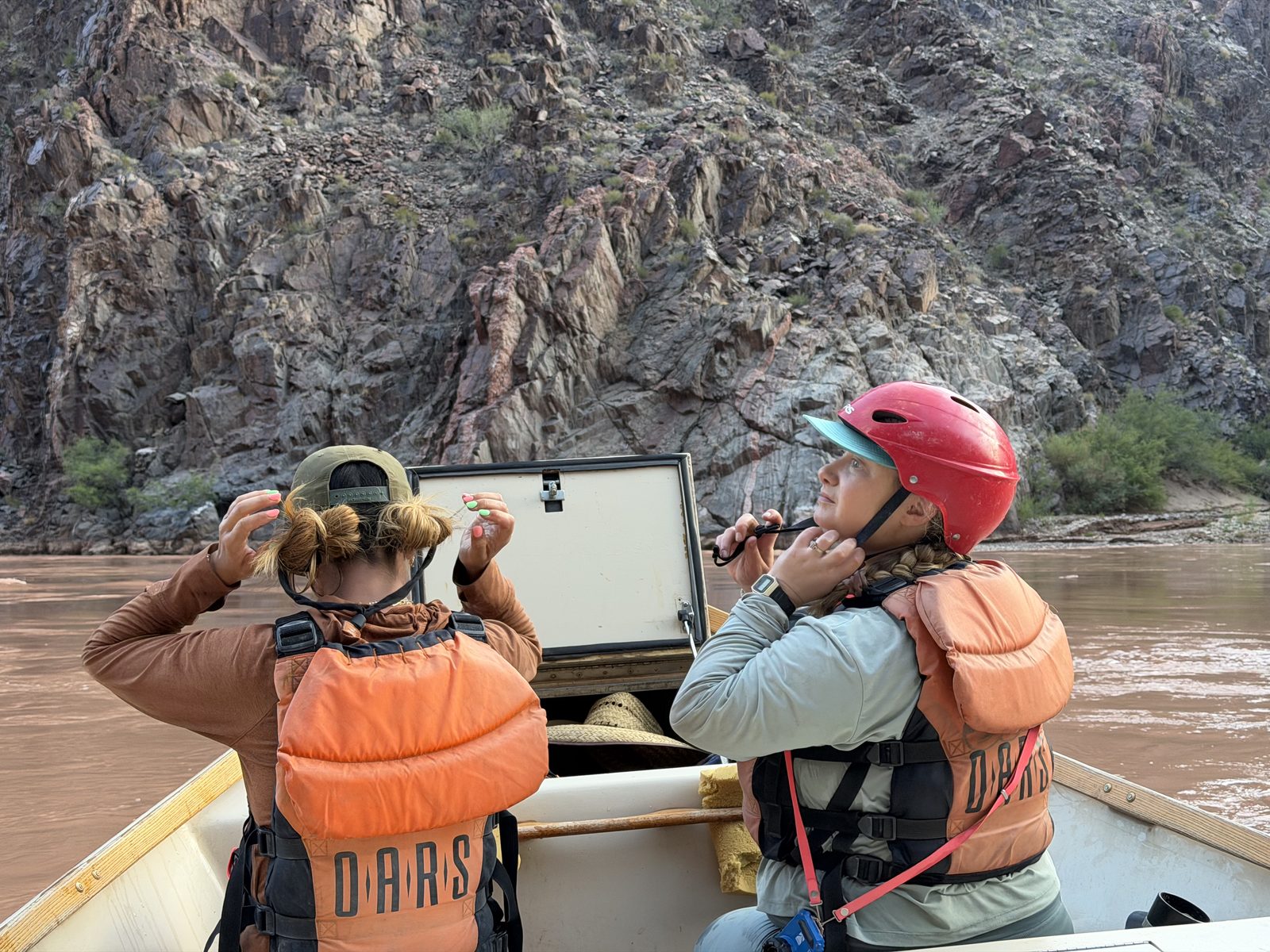
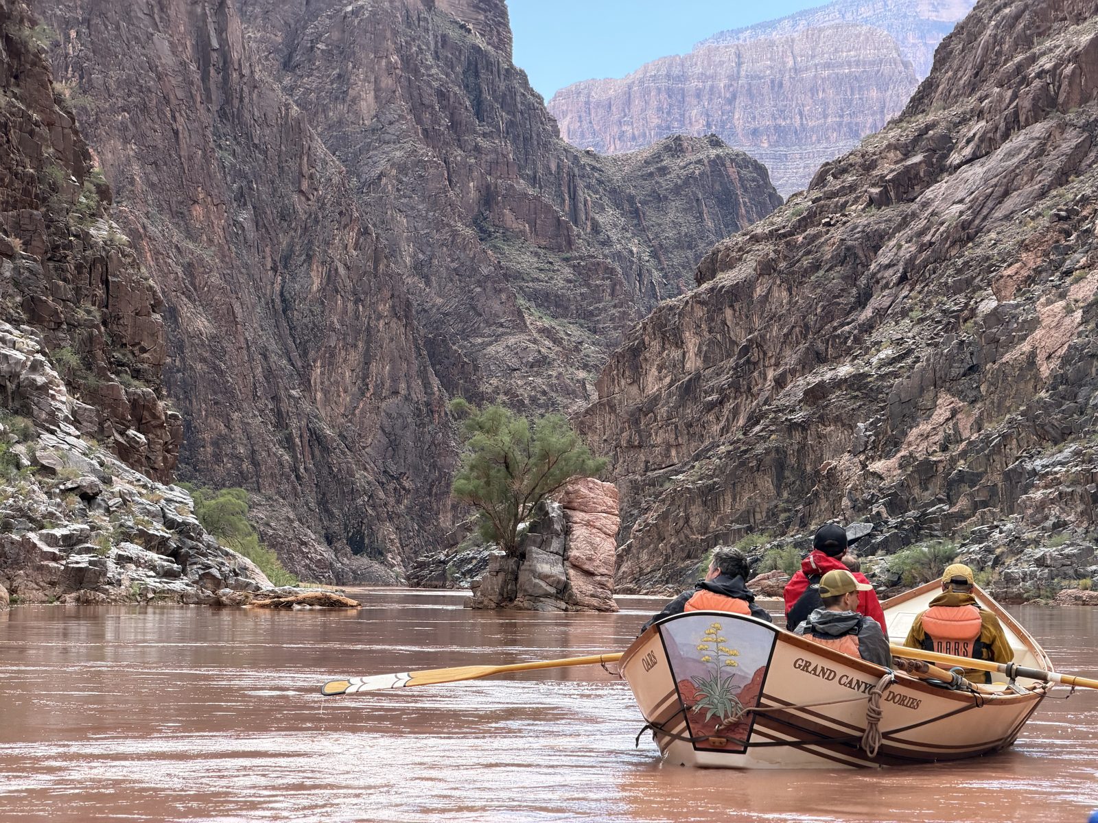
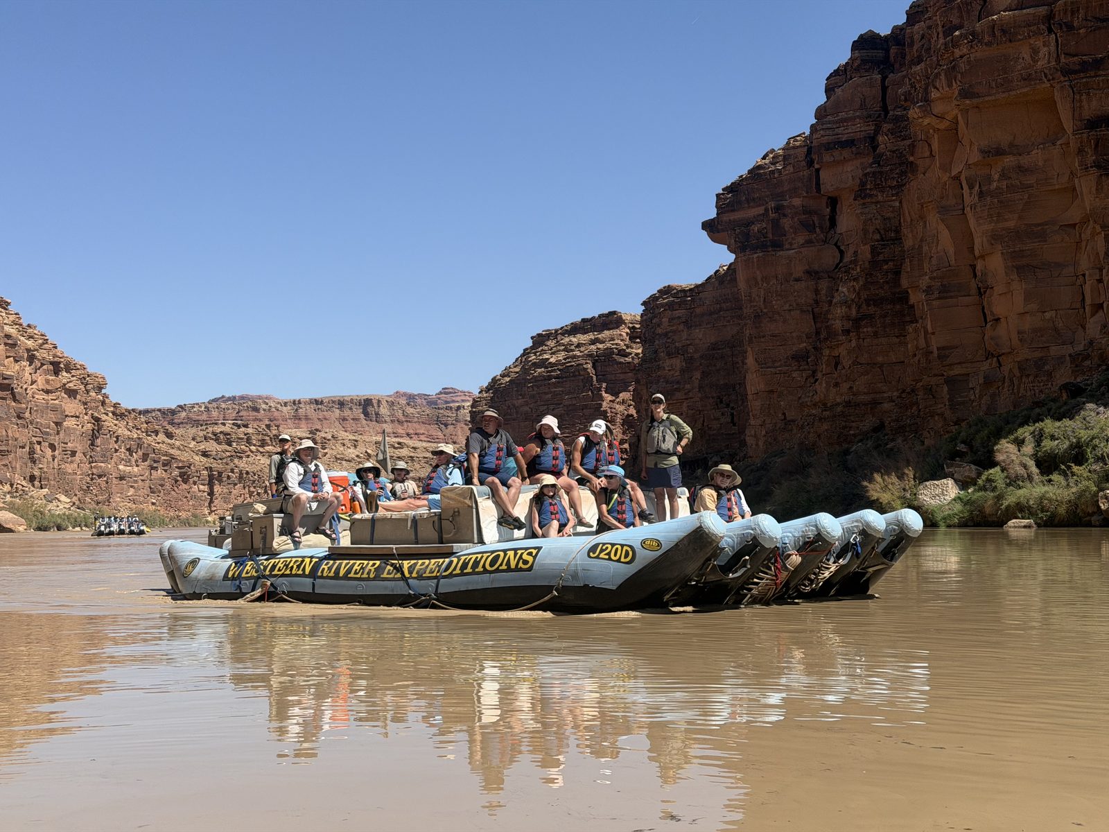
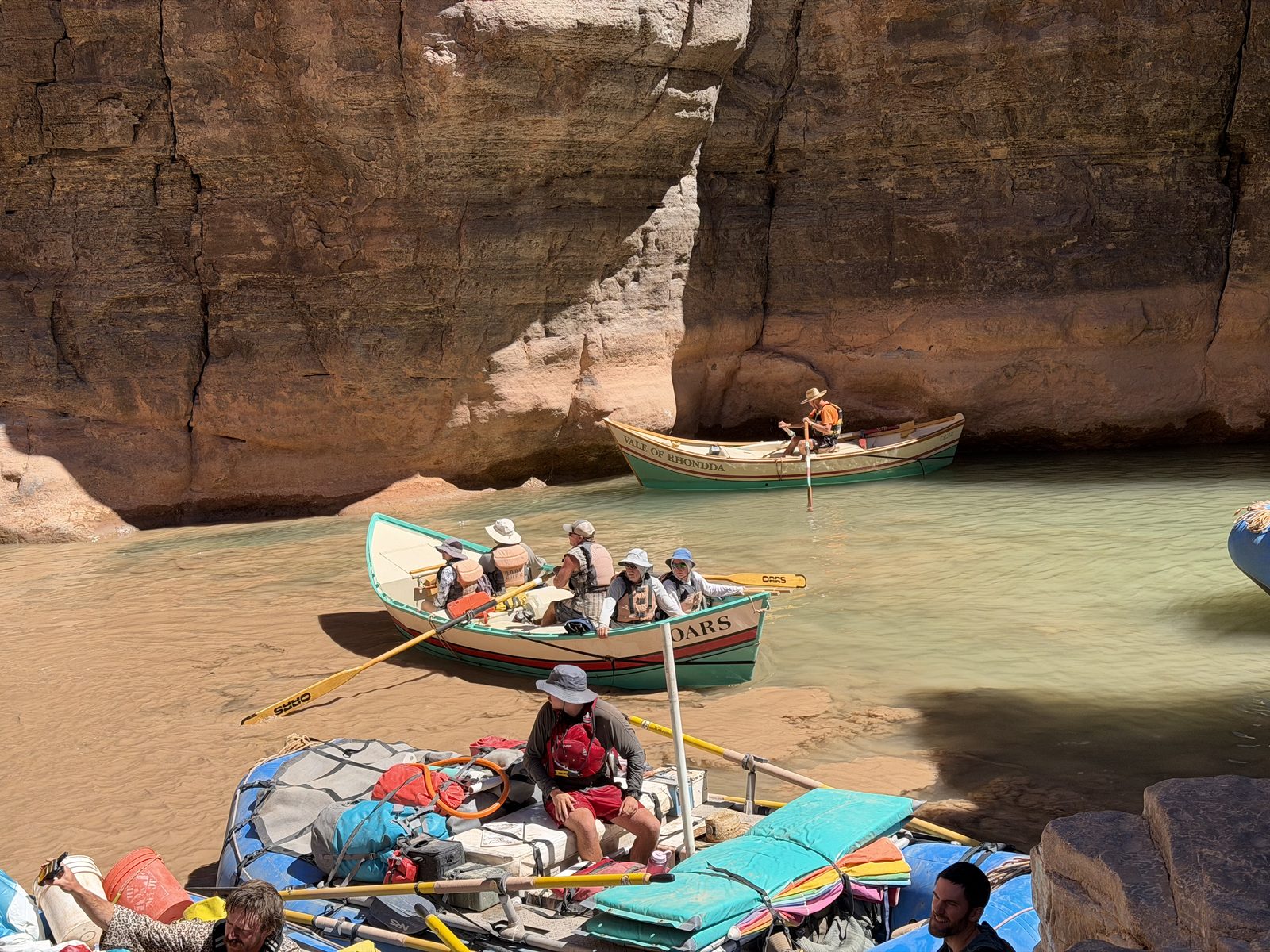
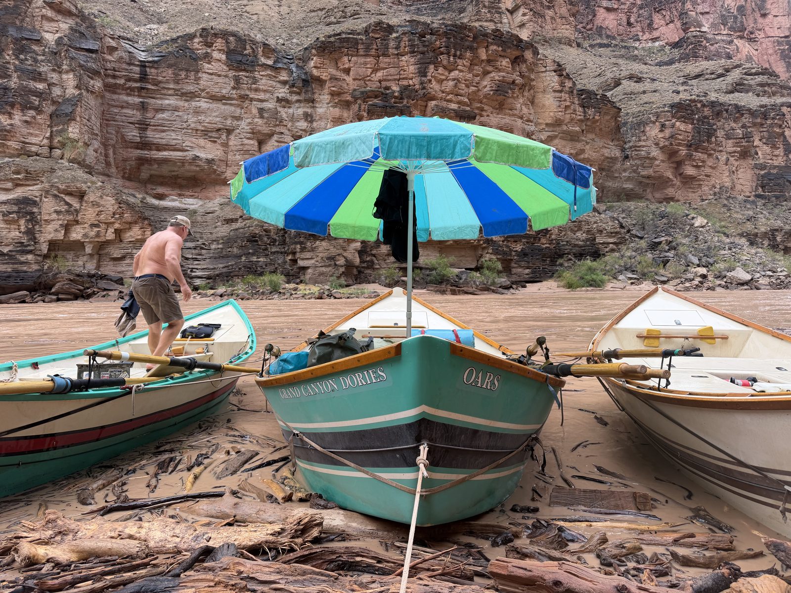
Sixteen of us frontcountry folk meet our boatmen at Lees Ferry. Ross is the TL rowing the Marble Canyon. Monte rowing the Vale of Rhondda. Don on the Mono Lake. Quigs on the Lava Cliffs. Caitlin, Maile, Bobby, and Jameson on our baggage rafts. No motors to be found. The youngest of our boatmen is eighteen, the oldest took their first trip down the canyon sixty one years ago.
It’s a good crew.
People say the Colorado carved the Grand Canyon, but that statement struggles to find ground in the human mind. Massive storms sweep through the Southwest in the summer — Monsoon. Rain, with character. Powerful storms, short-lived, focused and angry, pound the desert with more water than she can handle. The water carves out bits of sand and rock and plant and animal, and becomes something more than a liquid. A thundering conglomeration of sand, rock, water, driftwood, and debris, churning and crashing through the earth. This is how canyons are made. Not by a slow trickle of streams, but by the violent scouring of flash flood.
These floods crash into the river and dam her up with debris. This is how a rapid is born. The river backs up, overflows the debris, and finds itself falling and twisting and churning to gravity’s demands. You see a rapid, you’ll find a side canyon.
The rapids · The river falls almost 1,500 feet between Lees Ferry and Whitmore Wash, and nearly all of it happens in the rapids: each is a tick on the water’s surface, taller for a higher rating, rust and named at 7 or above. The ◆ beneath are the side canyons we walked — every one of them a drainage, every drainage a debris fan, every fan a rapid. The named reaches are bracketed above.elevation and ratings from the river guide · the Bright Angel rapid was born August 29 and is unrated
We start out on a tamed river blue and cold. Not that cold it turns out. The Glen Canyon Dam is failing, and surface waters flow through her penstocks today. 68.4˚F at Lees Ferry at our launch.
The river breathes every day to feed the turbines for electricity, starving the canyon of her insects. A puny amount of electricity at these lake levels — about the same as Elon’s natural gas turbines in Memphis that feed a single one of his datacenters. It’s a wonder it’s worth the effort. Yet without the dam and her breaths, there wouldn’t be water enough for our expedition on this day. We are entangled in all of it.
The blue water doesn’t last long. The Paria is raging. A half mile into our 188 mile trip, Blue turns Red and returns to her silty ways.
The water, every fifteen minutes · Glen Canyon Dam breathes once a day — down near 6,100 cfs before dawn, up past 9,200 by evening — and the pulse takes most of a day to reach mile 87. We rode about 7,800 cfs on average, a low-water year. Underneath, the mud: the Paria flashed the night before we launched and the Little Colorado ran high all week, which is why the river was brown from mile one to the takeout.USGS 09380000 · 09402500 · 09382000 · 09402300 · provisional
I am looking forward to this time. I’ve never done a trip like this. I yearn for the feeling of complete disappear. Fourteen days without phone calls, texts, notifications, follow-ups, or any kind of relationship with a corporation. This always-on connection to eight billion people is not good for us, we all know it. It is our miraculous tragedy. Fourteen days. Only these people and this place.
Day 1 · Tuesday, August 25
Hot Na Na
Mile 0 → 16.6 · 16.6 miles · 5 rapids, the biggest Badger Creek (5) · camp at Hot Na Na, 3:52 p.m.
Water
7,841 cfs Lees Ferry mean · 6,240–9,130 · 69° water
Heat
109° / 73° Phantom Ranch, measured
It is hot for this mountain town man. The highs back home were in the 70s. We haven’t yet learned the art of cooling the sand with buckets of water before laying down our bed, jumping in the river, and covering ourselves with a wet towel to lie down. Bobby will share that with us tomorrow.
We have an extravagant salmon dinner. I’m used to backpacking. But we’re floating. The boats are heavy with all sorts of delights I’ll discover over the weeks. We meet our fellow compatriots and share a warm beer over the hot sand.
It’s still so very hot.
Day 2 · Wednesday, August 26
The Roaring Twenties
Mile 16.6 → 31.5 · 14.9 miles · 11 rapids, the biggest House Rock (7) · camp at Sandpile
Water
7,809 cfs Lees Ferry mean · 6,210–9,100 · 70° water
Heat
109° / 76° Phantom Ranch, measured · heat warning
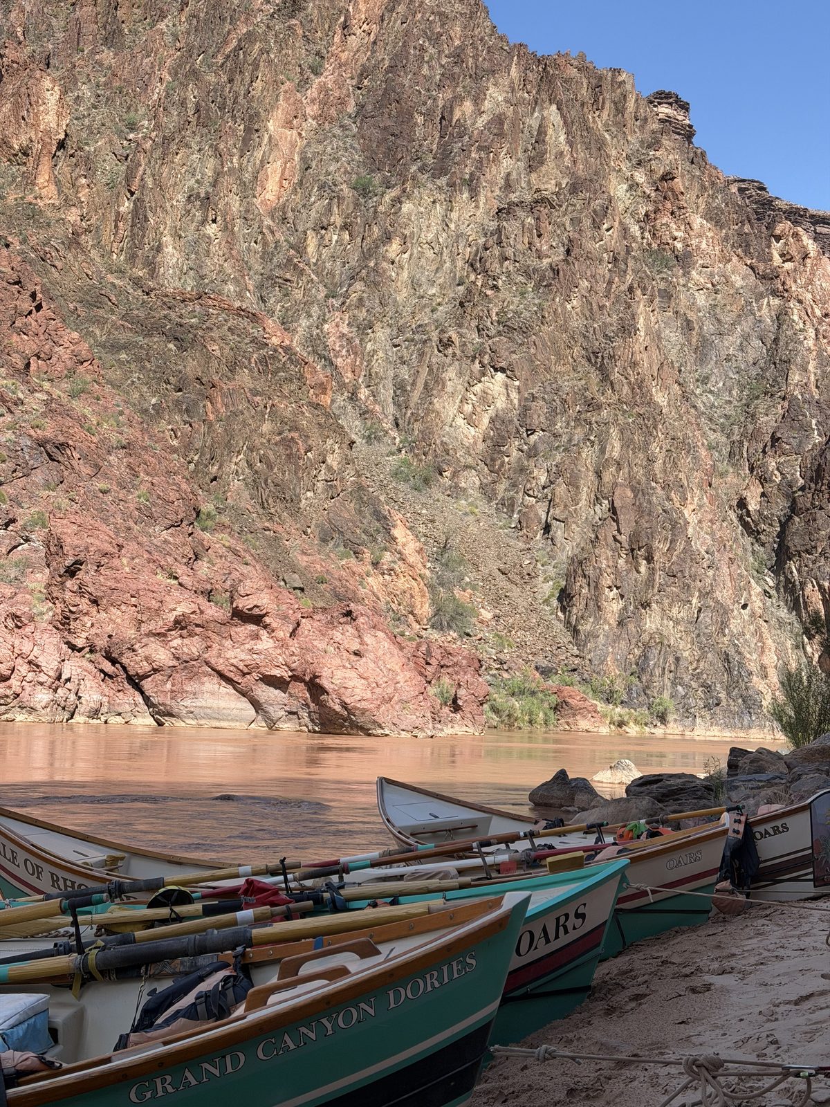
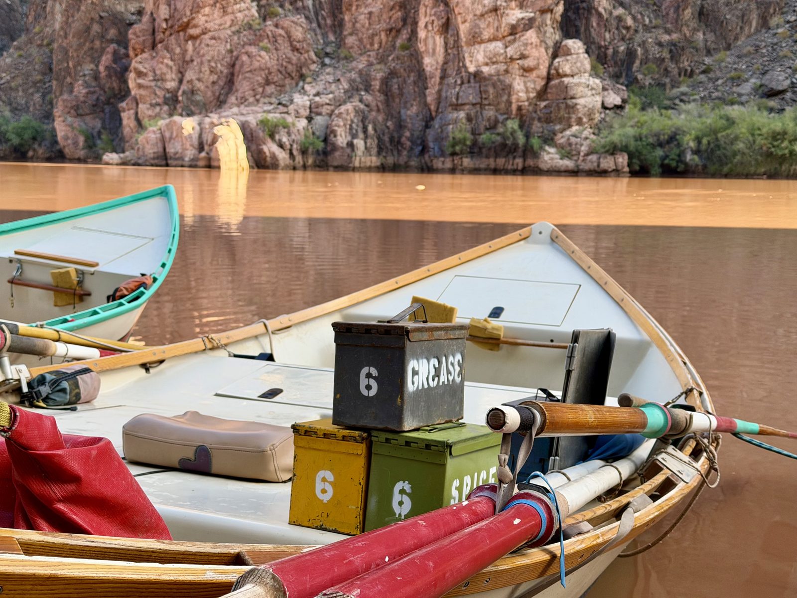
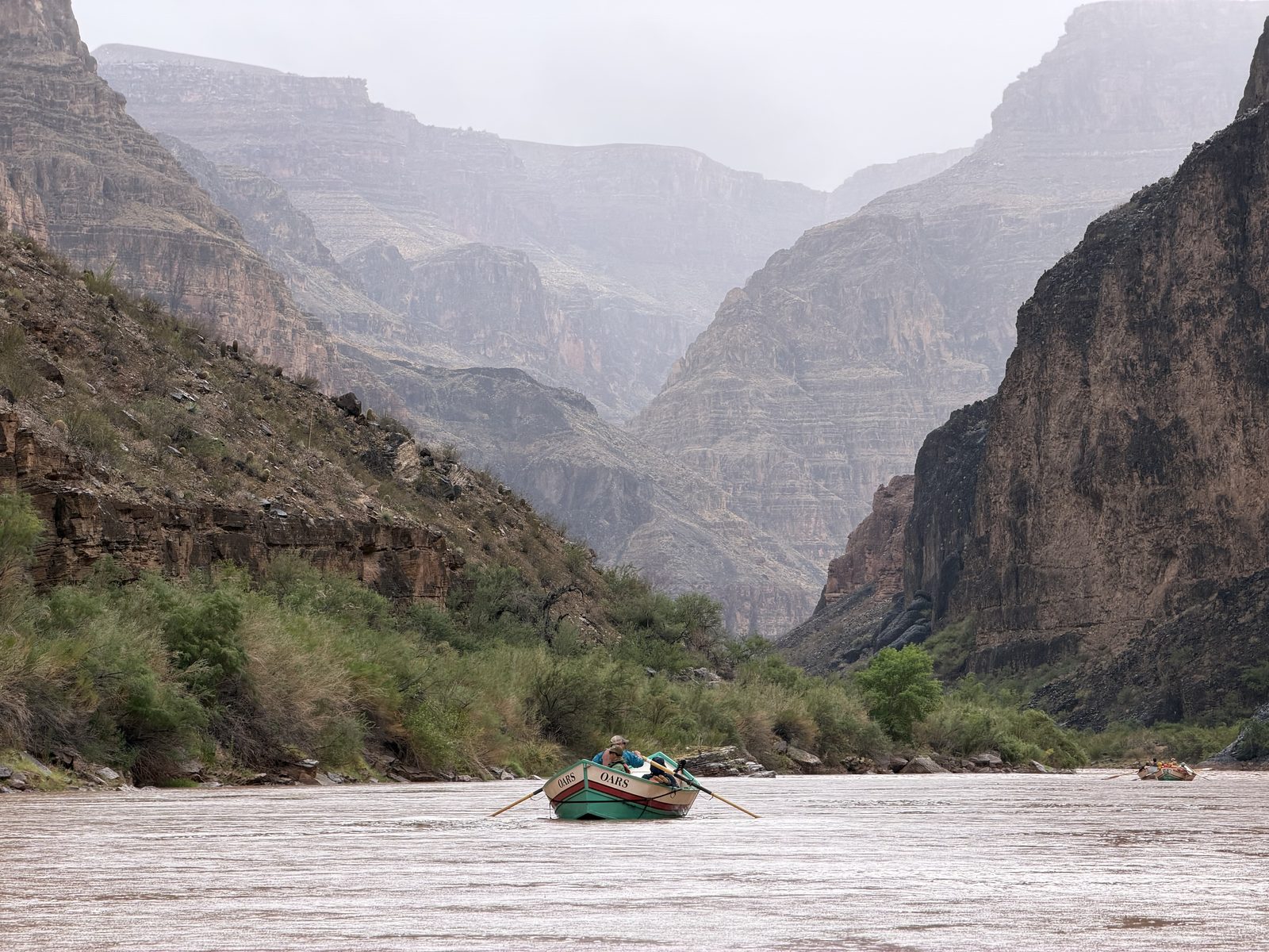
Downstream we go. Four dories and three rafts. I’m with Don in the Mono Lake today — an oddball dory — aluminum with the back seats facing the stern. It’s an odd feeling riding rapids this way. You see the smooth tongue fall away as the boat dances about behind you.
Don’s a long-time doryman. Has a dory of his own he takes his wife and daughter out on. In fact he was rowing a dory here on this river a couple of weeks ago with them. On this rapid. And they all swam. I guess that’s why he’s a little keyed up for the roaring twenties. He greases his lines, barely anything to bail.
The beauty of the canyon is oppressive. Overwhelming. Hanging, carved, sculpted sediment. We camp at Sandpile. Possibly the most beautiful campsite I’ve ever seen. Standard for the canyon. I’ll learn. Jason is moving here. He’s going to grow tomatoes in the silt with Andy.
We’ve learned Bobby’s tricks. A good night’s rest.
Day 3 · Thursday, August 27
Tremendous Day
Mile 31.5 → 41.2 · 9.7 miles · 1 rapid, the biggest 36 Mile (4) · camp at Buck Farm, 4:52 p.m.
Water
7,812 cfs Lees Ferry mean · 6,210–9,170 · 71° water
Heat
104° / 76° Phantom Ranch, measured · heat warning
Awake with the moon before the coffee conch. I am not a morning person. I love the mornings.
Lollygagging through Marble Canyon with Monte in the Vale of Rhondda. Boils and swirls and springs and monkeyflowers and…
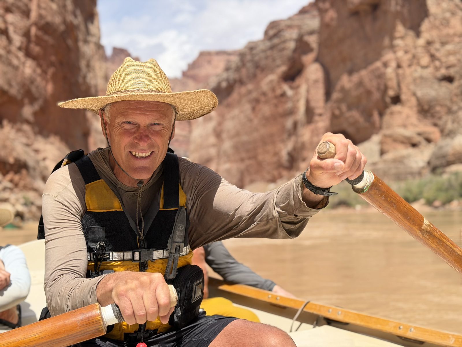
I understand the dories now. The sweet rhythm of the oar strokes. The calm. Spinning around at a thought, just to see. Endless conversating, geology lessons, histories, and follies. Monte is fantastic. Everyone on the river knows him. He says he’s done more than 200 trips on the canyon. Maybe 300.
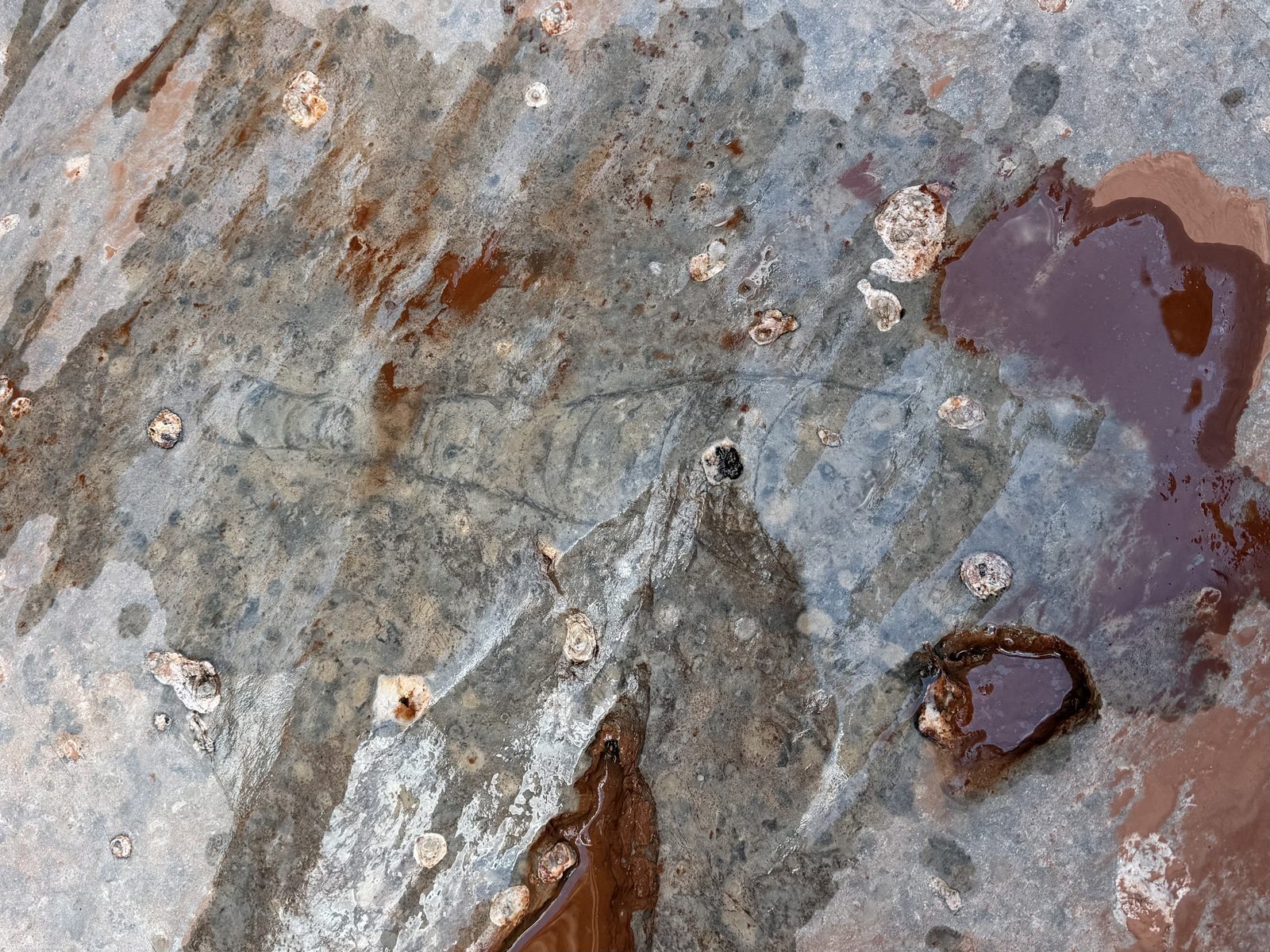
We hike up Nautiloid Canyon to see 270 million year old creatures carved into limestone. We journey into the exploratory tunnels for the Marble Canyon dam that would have flooded those fossils.
Monte recounts his times with Martin Litton. How he saved the Marble Canyon. The power of a strong will and romantic touch. I wonder about the Sierra Club today.
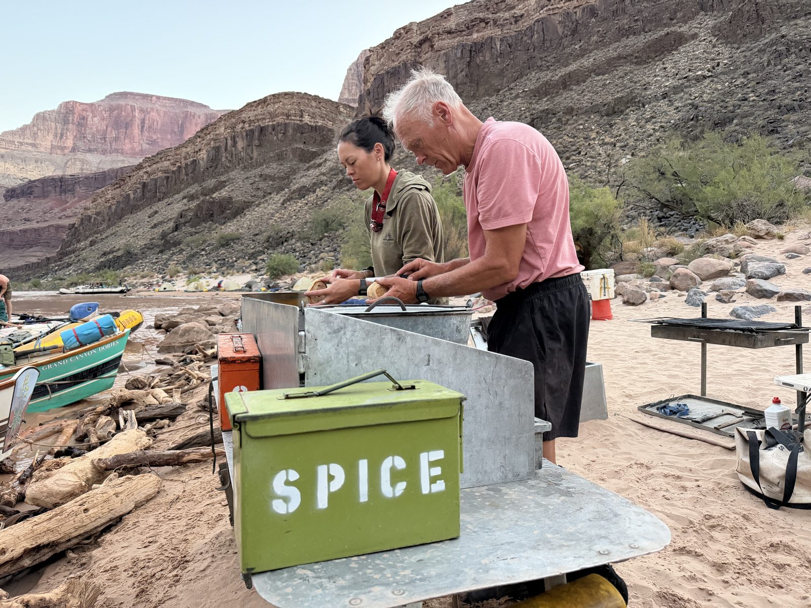
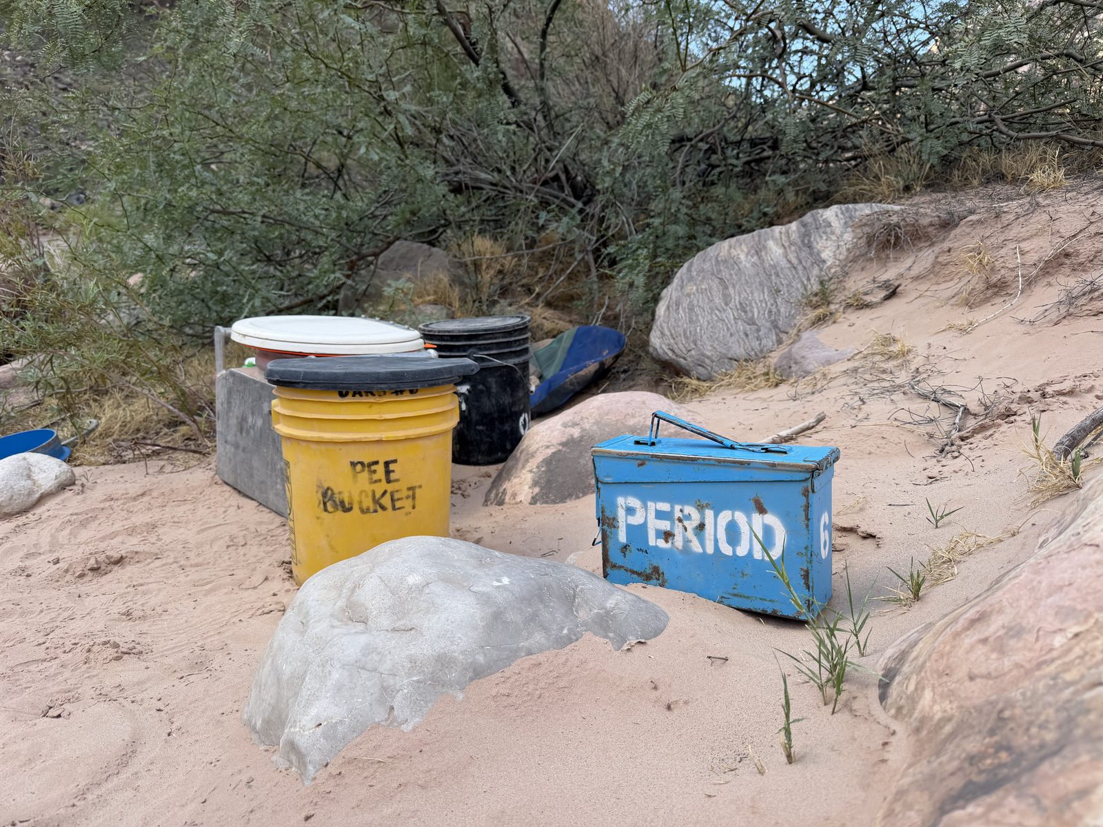
We camp at Buck Farm and eat carnitas. Bobby & Quigs are on kitchen duty tonight.
Day 4 · Friday, August 28
Flat by Grand Canyon Standards
Mile 41.2 → 52.9 · 11.7 miles · 2 rapids, the biggest President Harding (4) · camp at Nankoweap, 5:09 p.m.
Water
7,622 cfs Phantom Ranch mean · 6,650–8,620
Heat
107° / 71° Phantom Ranch, measured · heat warning
Rain
.05 in South Rim
I ride in the Lava Cliffs with Quigs as my boatman today. He speaks with love about high flows in Cataract and sells me on it. Four days in, already planning the next trip.
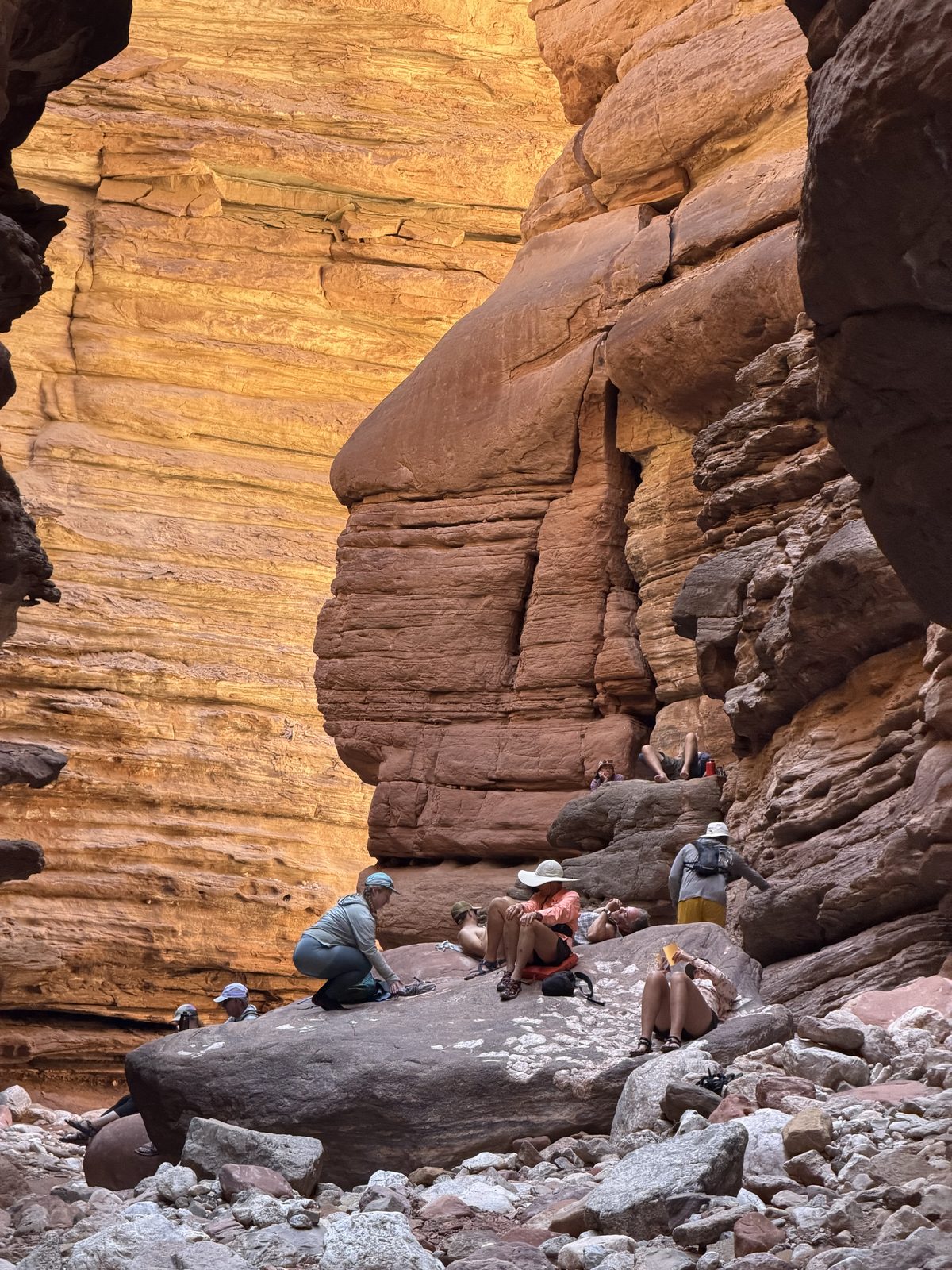
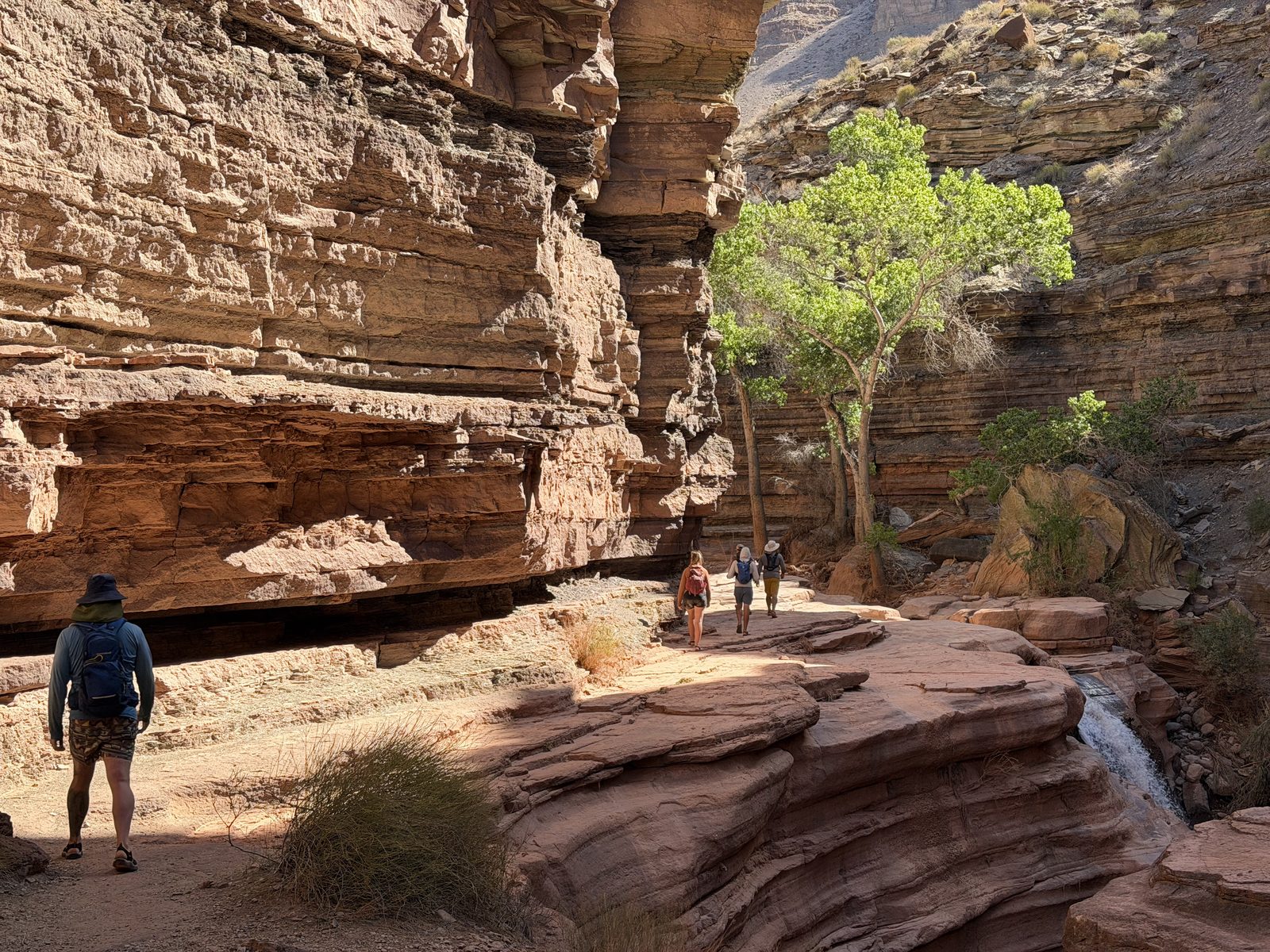
We hike up Saddle Canyon. Monte calls it “flat by Grand Canyon standards” — we’ll keep hearing this. Nothing is flat here. I start to wonder at the value of taking photos.
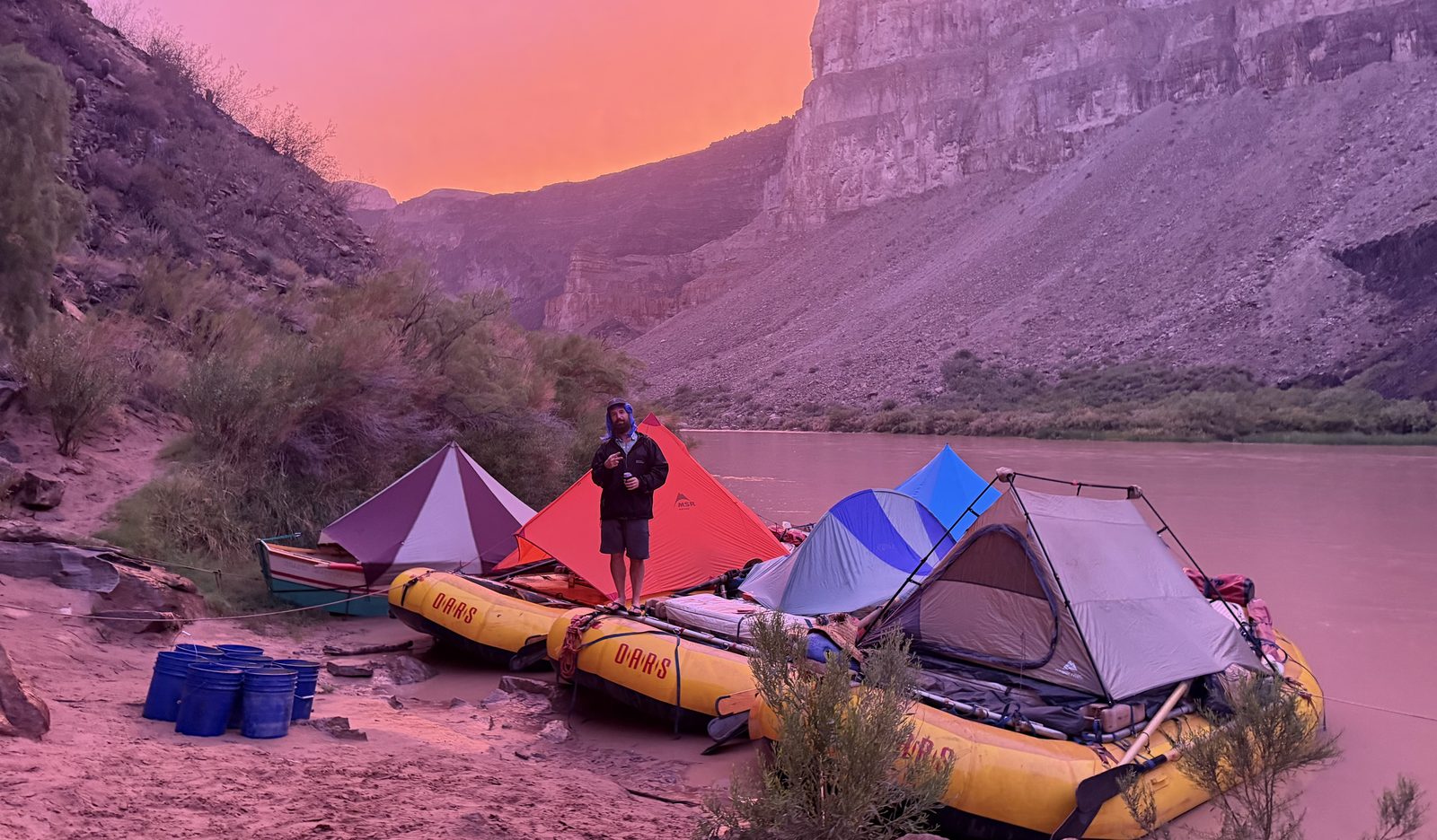
We camp at Nankoweap. A tremendous wind storm shows the futility of tent stakes. “If you love it, clip it down.” Bobby’s right. Patrick will skip rocks anyways.
Day 5 · Saturday, August 29
Runnin’ Down A Dream
Mile 52.9 → 71.5 · 18.6 miles · 5 rapids, the biggest Tanner (6) · camp at Cardenas
Water
7,413 cfs Phantom Ranch mean · 6,740–8,530
Heat
91° / 72° floor, est. · station silent · low 68° measured · rim 82° / 55°
Rain
2.21 in North Rim · 1.04 in Phantom Ranch · .23 in South Rim
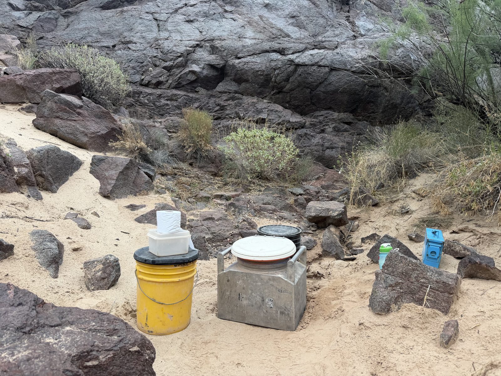
I wake up with a powerful need for the groover at 5:30am. Downpour. We pack up our wet tents and march on, flirting with the storm over the next few hours.
In the end, it’s one of the most majestic experiences one could ever imagine. Rowing down the canyon. Constant lightning behind us. In front of us blue skies. And shade. Finally a cool moment.
It feels impossible.
We don’t know it yet, but Phantom Ranch has been nearly swept away downstream.
The heat, and then the rain · The canyon floor reached 109° twice in our first two days, inside an Extreme Heat Warning the Weather Service had posted for the inner canyon; the rim ran twenty degrees cooler. Then the monsoon: 2.21 inches of rain at the head of Bright Angel Creek on August 29 — the cloudburst that made the flood — and 1.04 inches at Phantom Ranch, the station’s last report. From there the floor is an estimate, drawn dotted, because the measurement stopped.NOAA cooperative stations via ACIS · NWS forecast stored Aug 24 · ERA5 estimate, labeled
Day 6 · Sunday, August 30
Into Mordor
Mile 71.5 → 81.5 · 10 miles · 5 rapids, the biggest Hance (8) · camp at Grapevine, 3:23 p.m.
Water
7,838 cfs Phantom Ranch mean · 6,560–9,010
Heat
95° / 73° floor, est. · station silent · rim 81° / 54°
Rain
.80 in South Rim
We wake to news that the river is closed at Phantom. A huge flash flood came roaring down the Bright Angel drainage and carried an entire construction site with it. Rumor is there’s excavators in the river.
We’re given a couple of extra hours to wait things out and let our stuff dry. We’ve learned what happens when wet things go into a dry bag and bake all day. It’s not the best.
I’m riding the Marble Canyon again with Ross. Ross is a fantastic TL. He’s not very particular about most things, just everything. Doesn’t love the letter g. We’re campin’, hikin’, swimmin’, runnin’ and things are happenin’, changin’ as we get outta’ here.
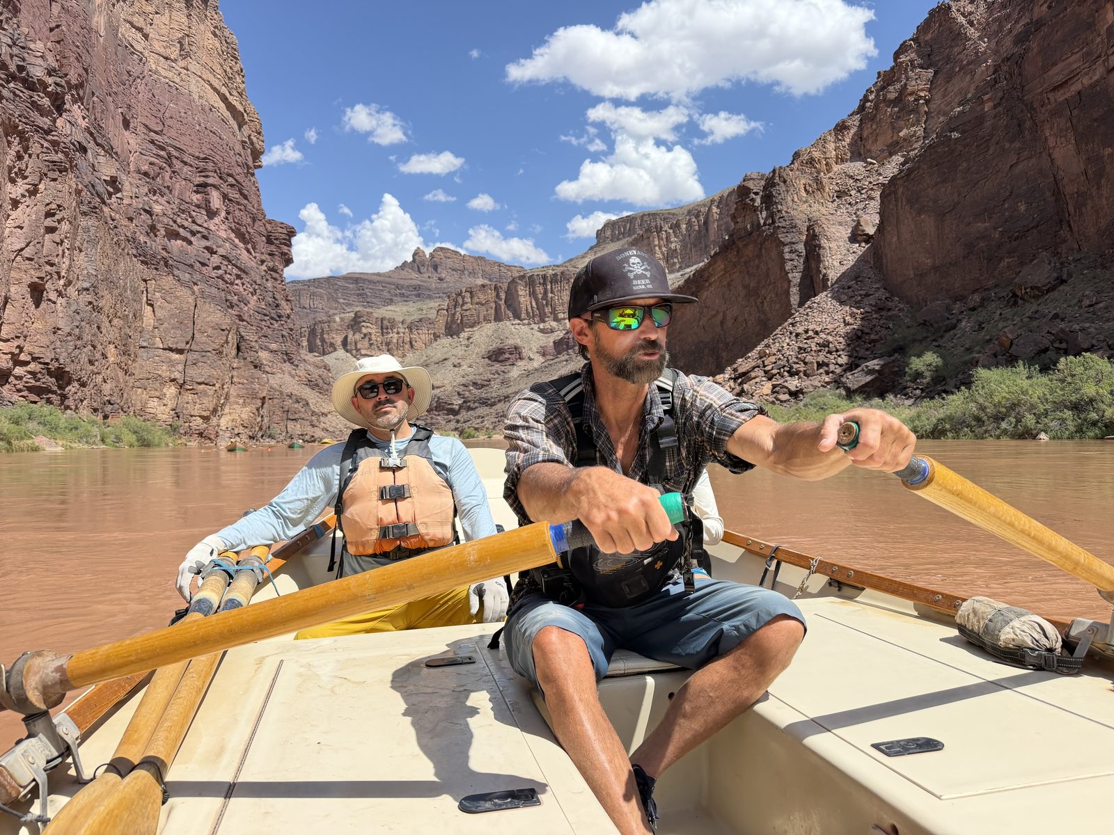
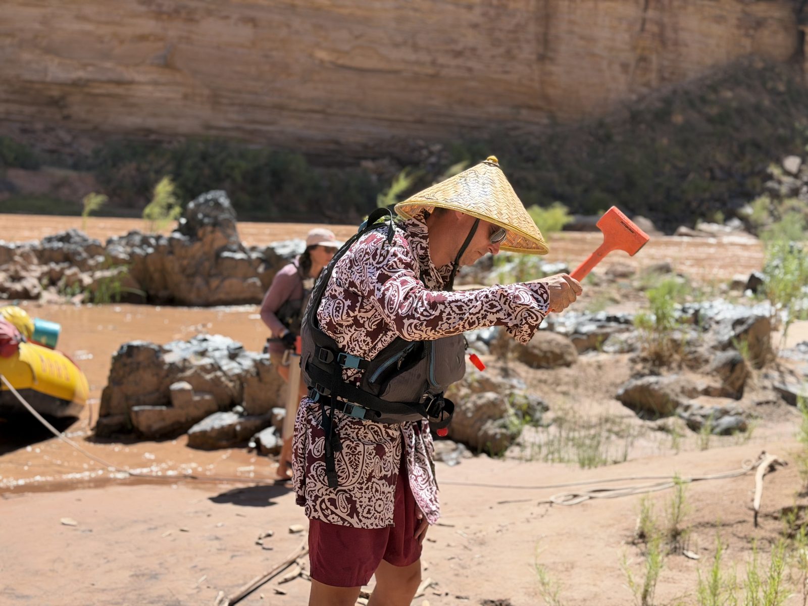
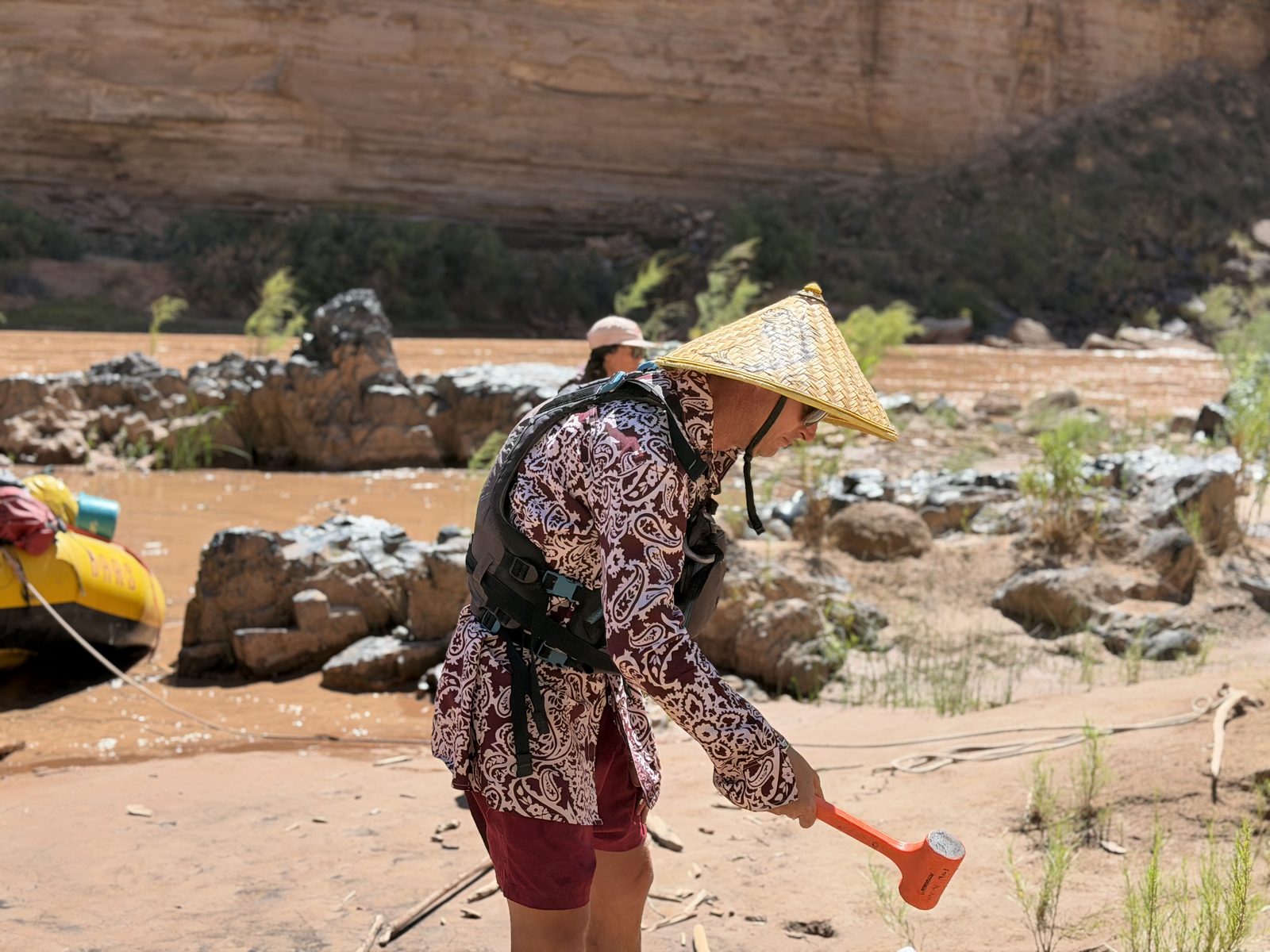
We hit our first big scouted rapid of the trip: Hance. We get absolutely pummeled in the TL’s boat, water up to the gunnels. I start to understand a new dimension to these dories. We mostly go through the rapids sideways, so the boatman can position the boat in the best place. Then we turn into the waves and slalom the biggest waves. The boatman is the apex of this dance, pinned between oars and footwell. But the passengers are a part too, our weights tell the boat which direction to go.
“These boats tend to go where they’re pointed” Monte will say to Jameson several days from now. I’m starting to get it.
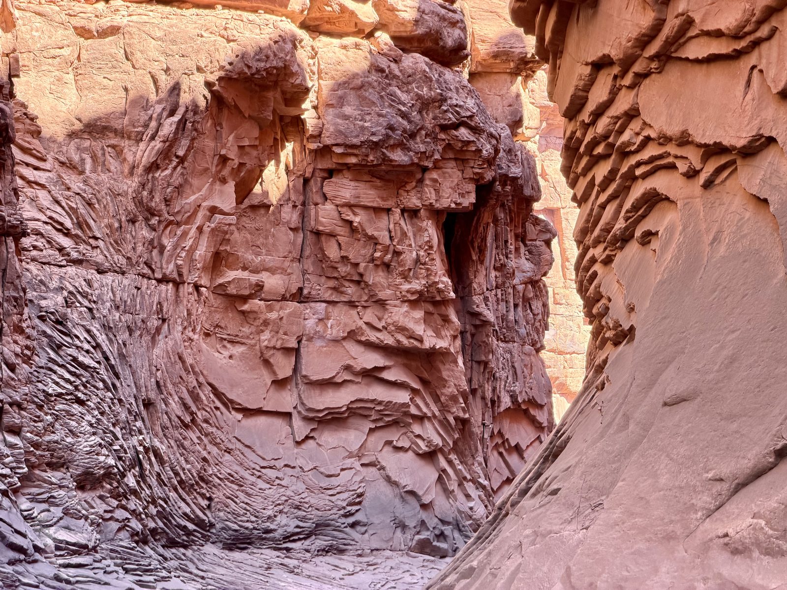
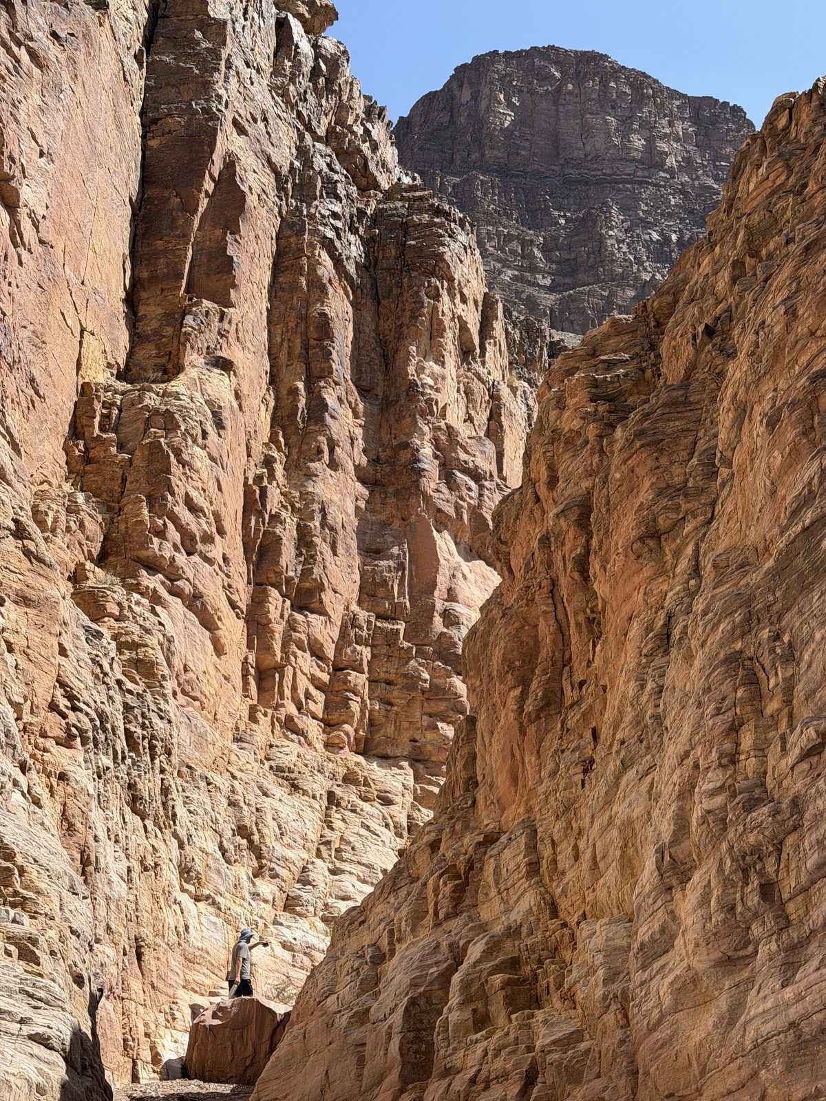
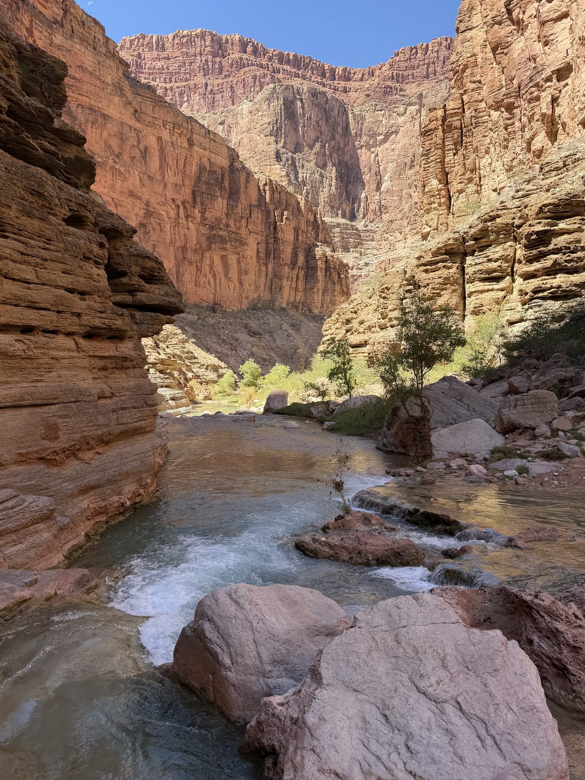
An incredible lunch hike up a side canyon. 75 mile canyon. I start to understand how many side canyons there are like this. Too many to name. Every rapid a drainage, every drainage a side canyon.
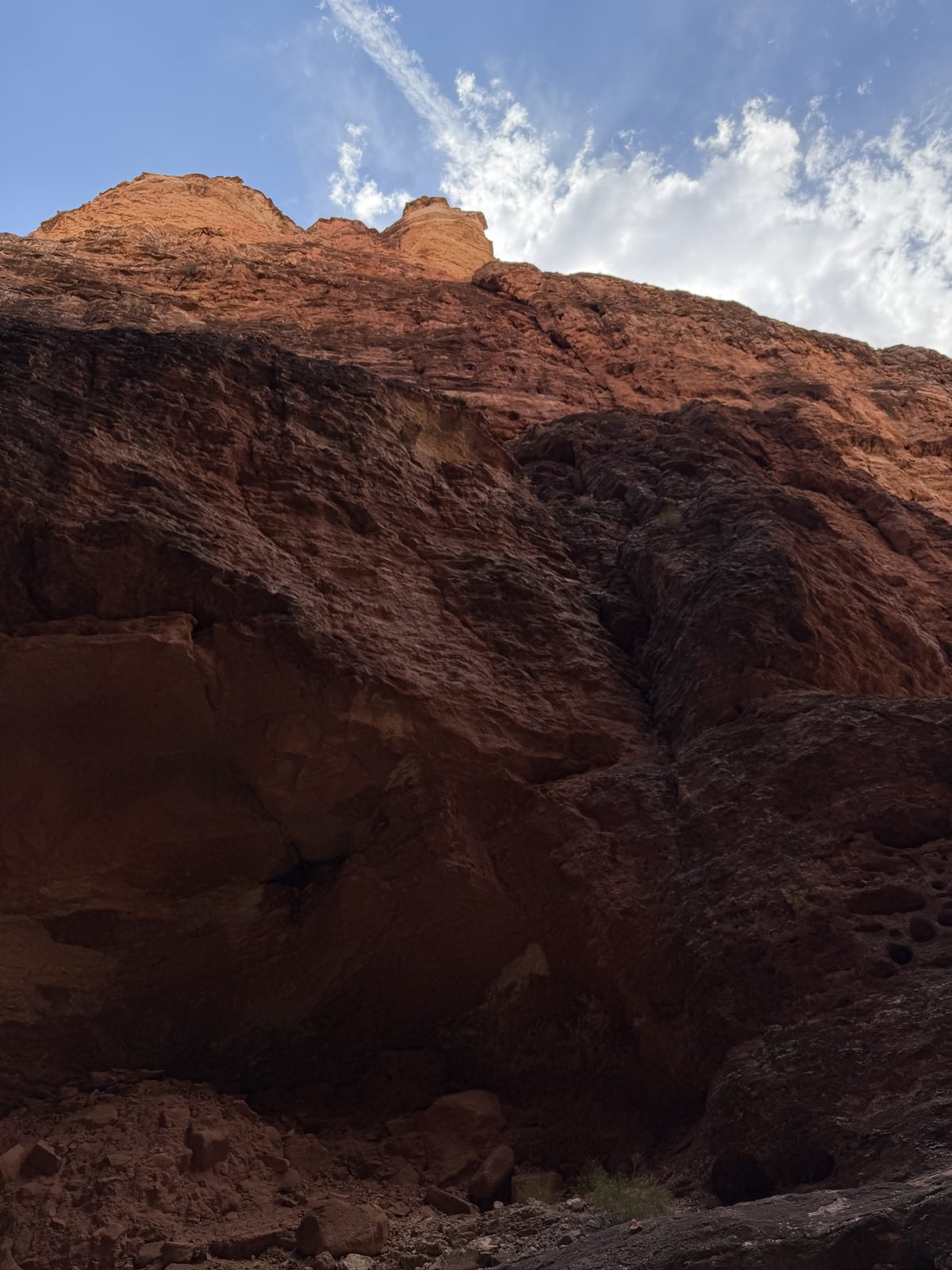
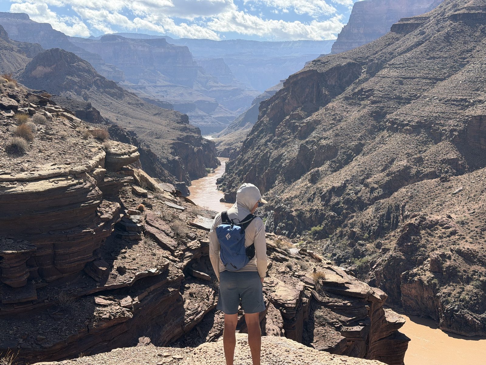
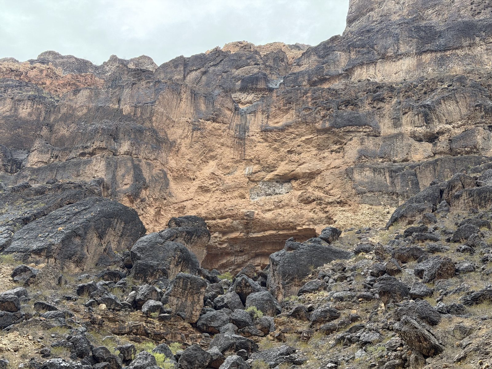
The afternoon follows a descent into Mordor. The sedimentary rocks give way to the supergroup which fades into the basement rock underworld. No words can describe descending through time like this. I won’t try.
We’ve learned that the river is open again. We’re good to go, but there might be a bit of a traffic jam coming up. Camps are first-come, first-served. But we’re all floating downstream. The TLs chat about camps as they pass each other, but you never know what’s going on downstream.
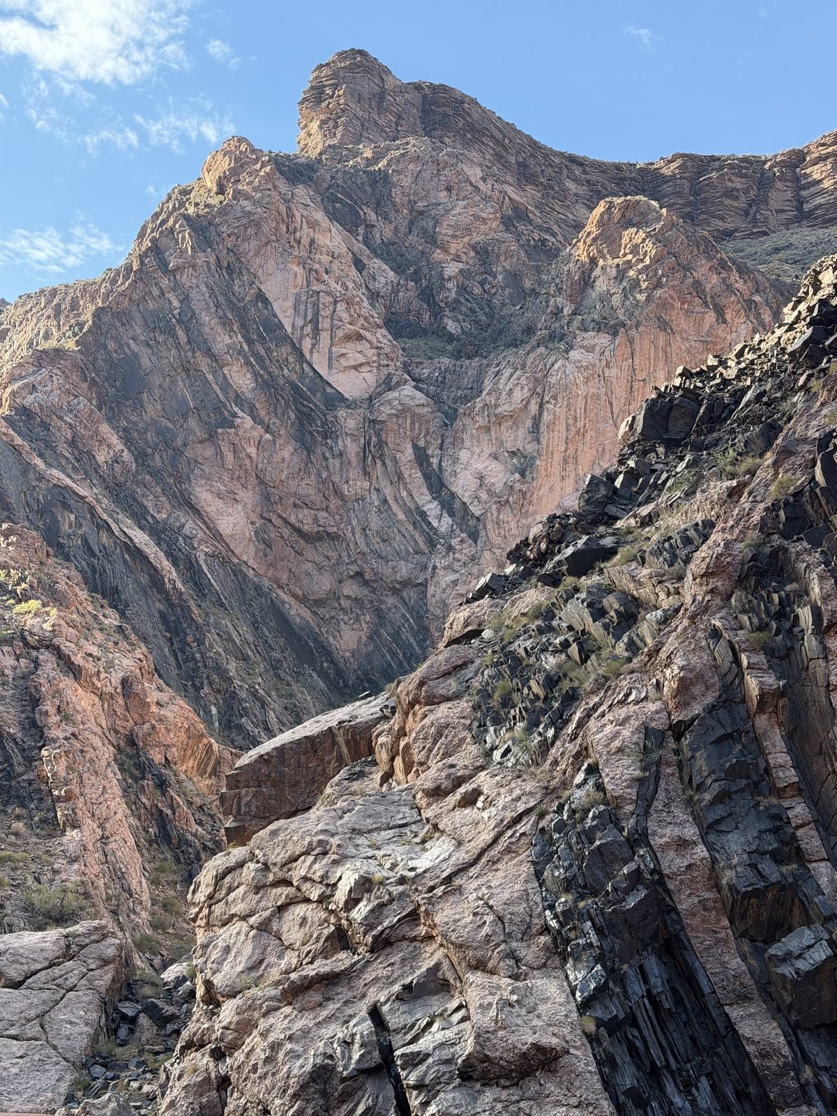
We’ll camp at Grapevine. Sparkling pink zoroaster granite criss-crossing the shiny vishnu schist creates a geologic landscape I will never forget.
Filets for dinner. Cooked to order by Monte. “I can’t uncook a steak guys, and you won’t hurt my feelings if you ask me to put it back on the grill.”
Ice cream for dessert. These guides aren’t here to fuck spiders.
Early to bed for an early launch to make our exchange at Pipe Creek. Five people leave tomorrow, four new join. We are so very deep into this way of being. We break down camp in the morning, set it up in the afternoon. We are one with the silt and sun and the sunscreen and the sweat and these old boats.
Some of us will leave? New people will arrive? Impossible.
Day 7 · Monday, August 31
A Long Wet Layover
Mile 81.5 → 93.4 · 11.9 miles · 7 rapids, the biggest Horn Creek (8) · camp at Granite Camp
Water
7,621 cfs Phantom Ranch mean · 6,810–8,550
Heat
87° / 69° floor, est. · station silent · rim 70° / 50°
Rain
.28 in North Rim · .12 in South Rim
A tremendous electrical storm arrives around 3am. Not a soul slept any later than that. Thunder crashes at the rim, stumbles down into the canyon, and races up and downstream, screaming off the prehistoric schist.
I’m in the Vale with Monte at the oars hitting Grapevine first thing in the morning. He describes his run before dropping in. Line it up so close to a boulder the right oar will shudder, two powerful back strokes where his head will touch the back seat, then we’re golden.
And that is exactly how it goes. He aces it.
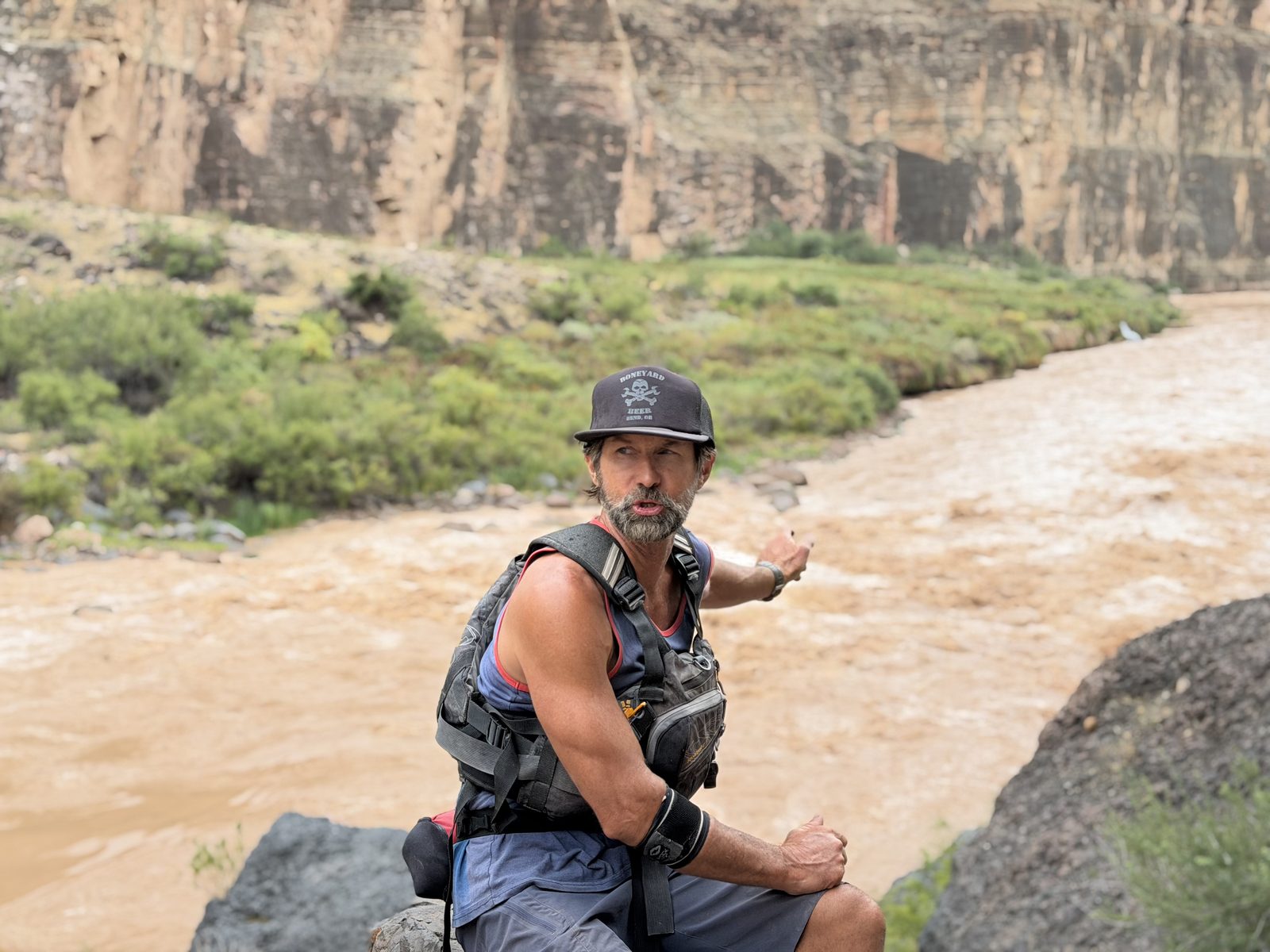
86 mile rapid. Monte says it’s a sleeper, has flipped boats plenty of times. Except it’s not a sleeper. It’s not a rapid or even a riffle. That’s about the time the boatmen notice how high the river has backed up. Far above the 2023 high flow sediment lines.
Remember: this is how new rapids are formed.
Monte rows ahead. TL’s don’t love it when someone pulls in front, but what are you going to do with Monte.
When we arrive at Phantom Ranch, it’s clear just how high the river has backed up. Almost six feet. Boat beach is no more. Phantom is closed, so we hang back while the boatmen go to scout a new rapid. No mule-carried stamps for our letters. I keep writing them anyway.
It isn’t very often that you get to ride a new rapid in the Grand Canyon.
Ross lets Monte lead the new rapid, and I’m in the back seat. The boatmen will say it’s a pretty straightforward rapid. All is well. We all make it through to the exchange at Pipe Creek. The first dory descent of Caterpillar Falls.
The gratitude I have at this moment is overwhelming and impossible to describe. I’ve been astounded with the respect, humbleness, and seriousness these boatmen have for each other. They’re here to serve, to guide, to keep us safe, and to ride big whitewater.
The demands of the outside world do not entirely avoid us. Some of us cannot continue on, must go to school and work and weddings and all of the noise of the outside world. Some new ones will join us, coming from that place into a rhythm we are so deeply in we cannot find the beat.
A magnificent storm descends. Cools the upwards hikers. Drowns the downwards ones. It is an odd experience. I am thankful we have chosen our path.
We camp just above Granite Falls. I hike up to the scouting point. This rapid surely eats every boat that enters.
I am. So. So. Tired.
Day 8 · Tuesday, September 1
The Gems
Mile 93.4 → 107.5 · 14.1 miles · 11 rapids, the biggest Granite (8) · camp at Hotauta, 1:54 p.m.
Water
8,103 cfs Phantom Ranch mean · 6,930–9,900
Heat
89° / 66° floor, est. · station silent · rim 74° / 44°
Rain
.20 in North Rim · .27 in South Rim
Today will be a big rapid day. I bully my way behind Quigs in the Lava Cliffs. I’m ecstatic. They’re called The Gems for a reason. We’re the tailing dory so we get to see all three of the dories drop in and run before we go. They drop down each rapid, surrounded by basement rocks, facing into the Powell Plateau with all the layers of the sedimentary rocks in the distance as thunderstorms flirt above. I get to watch Quigs wrestle the boat and surf the chaotic waves. He squats, grabbing each oar like a focal point and twists the boat at his will with screams and joy. It is another impossible experience.
I’ve stopped taking photos or videos.
A monsoon approaches and I do not reach for my raincoat. I let the warm breeze dry me minutes later. I understand the need for my skin to feel the sun.
My goodness.
We camp at Hotauta. It’s hot. There are pieces of metal and plastic and refrigerators and lumber and cages in the river. This is how canyons are made.
We eat another extravagant meal of seared ahi tuna, rice, cauliflower, and coleslaw. Freshly baked carrot cake for dessert. Why would I ever leave this place?
Day 9 · Wednesday, September 2
Beach Party
Mile 107.5 → 122.5 · 15 miles · 5 rapids, the biggest Walthenberg (6) · camp at 122 Mile, 4:07 p.m.
Water
8,264 cfs Phantom Ranch mean · 7,400–9,090
Heat
93° / 69° floor, est. · station silent · rim 78° / 48°
I hop into Don’s Mono Lake. He tells stories all morning. I could do this forever. Why don’t I have stories like this?
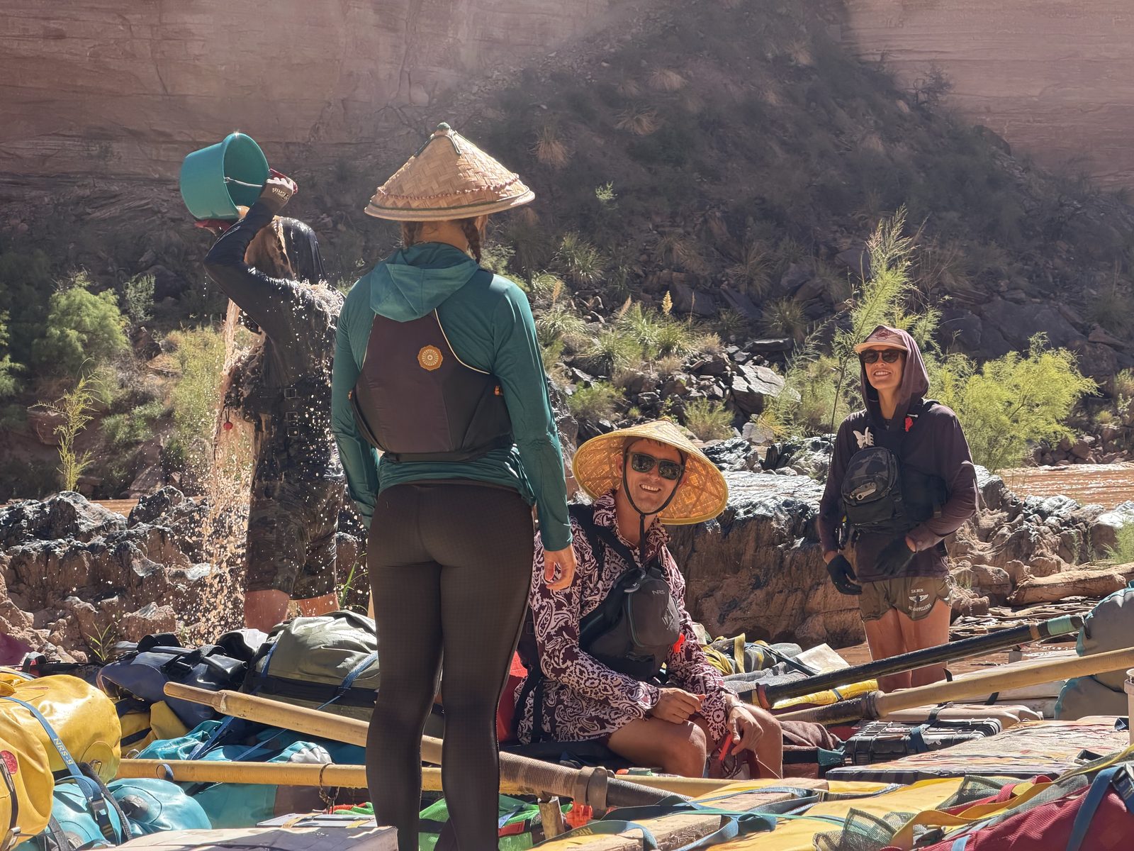
We ride the bows of the dories and laugh. We play games with squirt guns and buckets. Life is not so serious! An upside down cooler hop-frogs us all day long, Coolio.
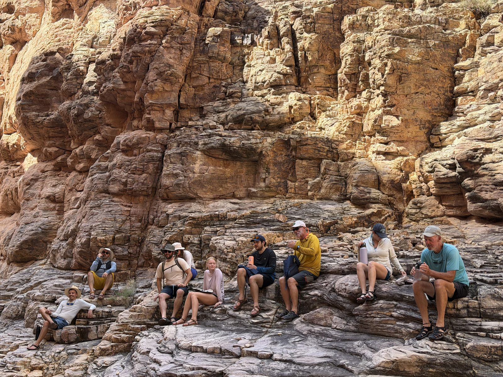
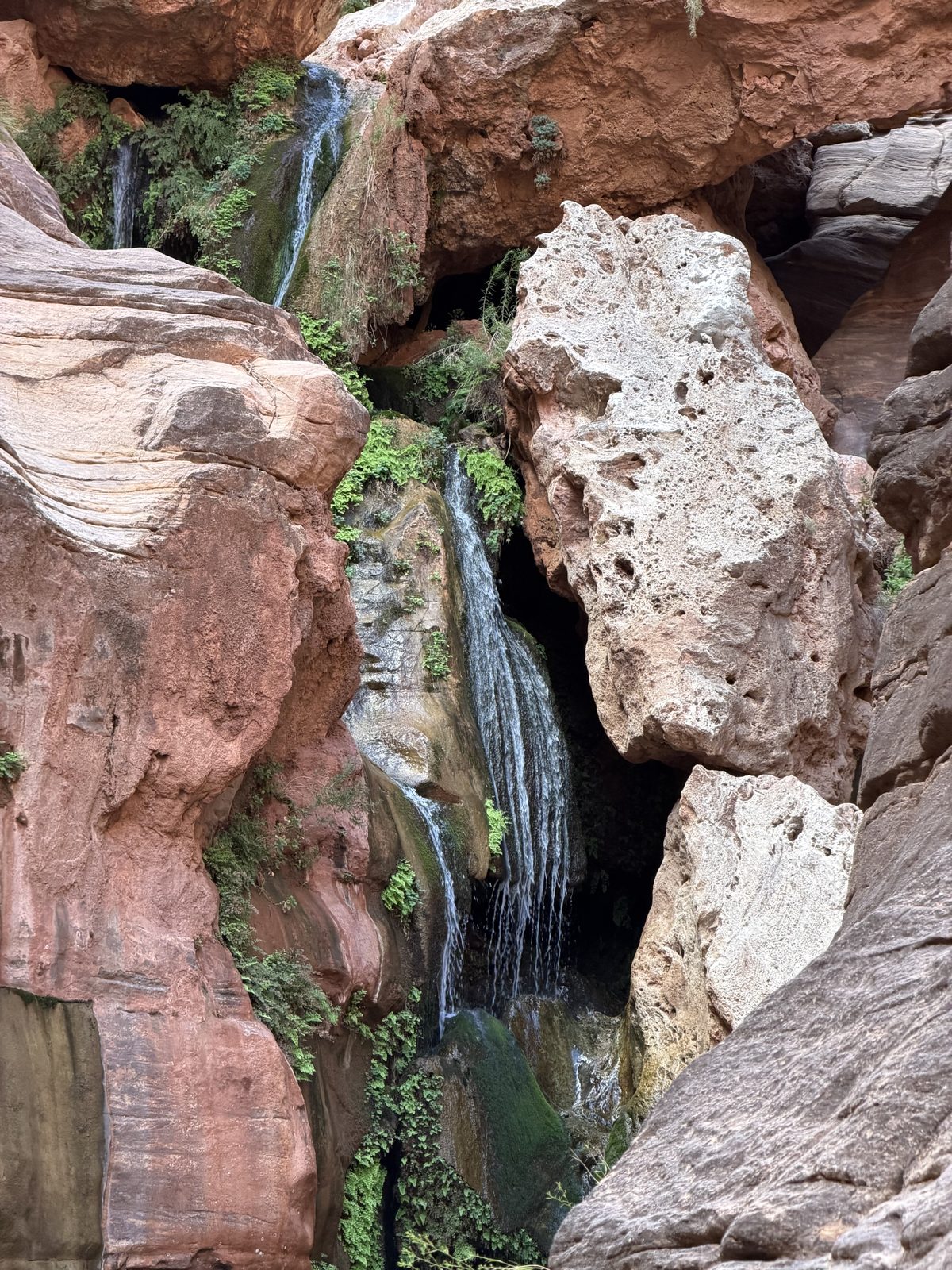
We stop at Elves Chasm. It escapes words. We stop at Dune for lunch, catch up with the NPS folks. We stop at Blacktail Canyon and Jess does some tarot and breathwork and ohms. I draw an upside down nine cups.
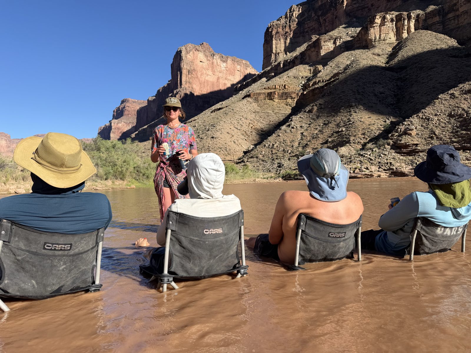
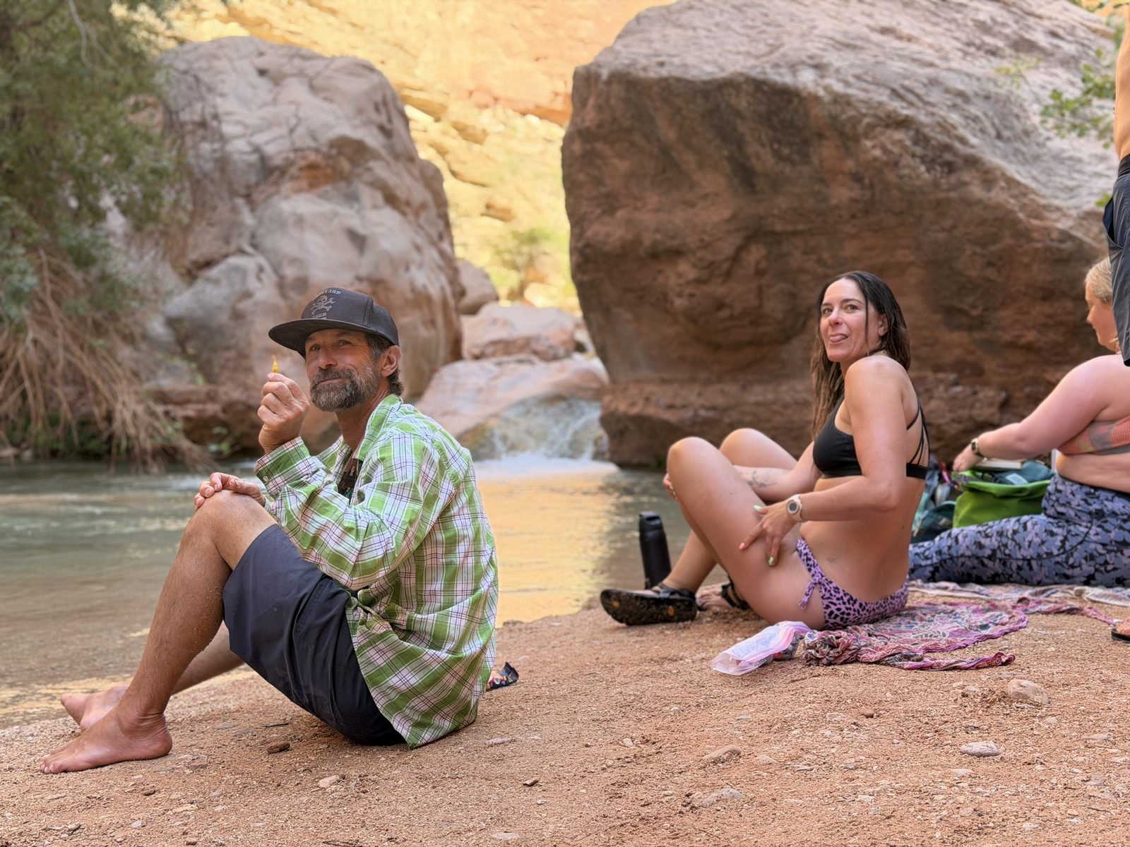
Beach party. Campin’ at Disney Kitchen. Chub’s nibblin’ on our toes as we watch Coolio circle the eddy across the way. Don plays price is right with the sun. Jess and Emme are making margs with Bobby’s juicer. Each day is an entire summer vacation. We will never leave.
Day 10 · Thursday, September 3
Whiskey Drunk
Mile 122.5 → 132.5 · 10 miles · 5 rapids, the biggest Bedrock (7) · camp at Stone Creek, 12:14 p.m.
Water
8,244 cfs Phantom Ranch mean · 6,960–9,470
Heat
94° / 67° floor, est. · station silent · rim 77° / 41°
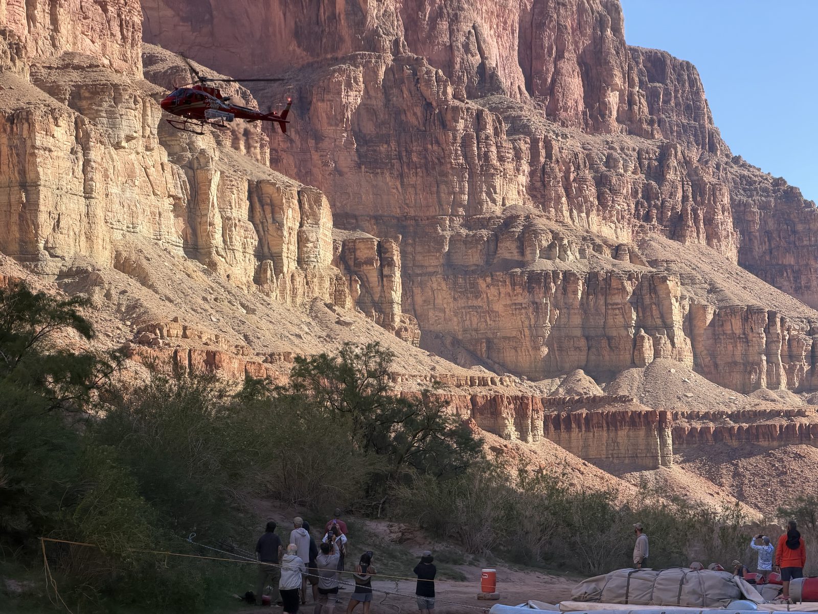
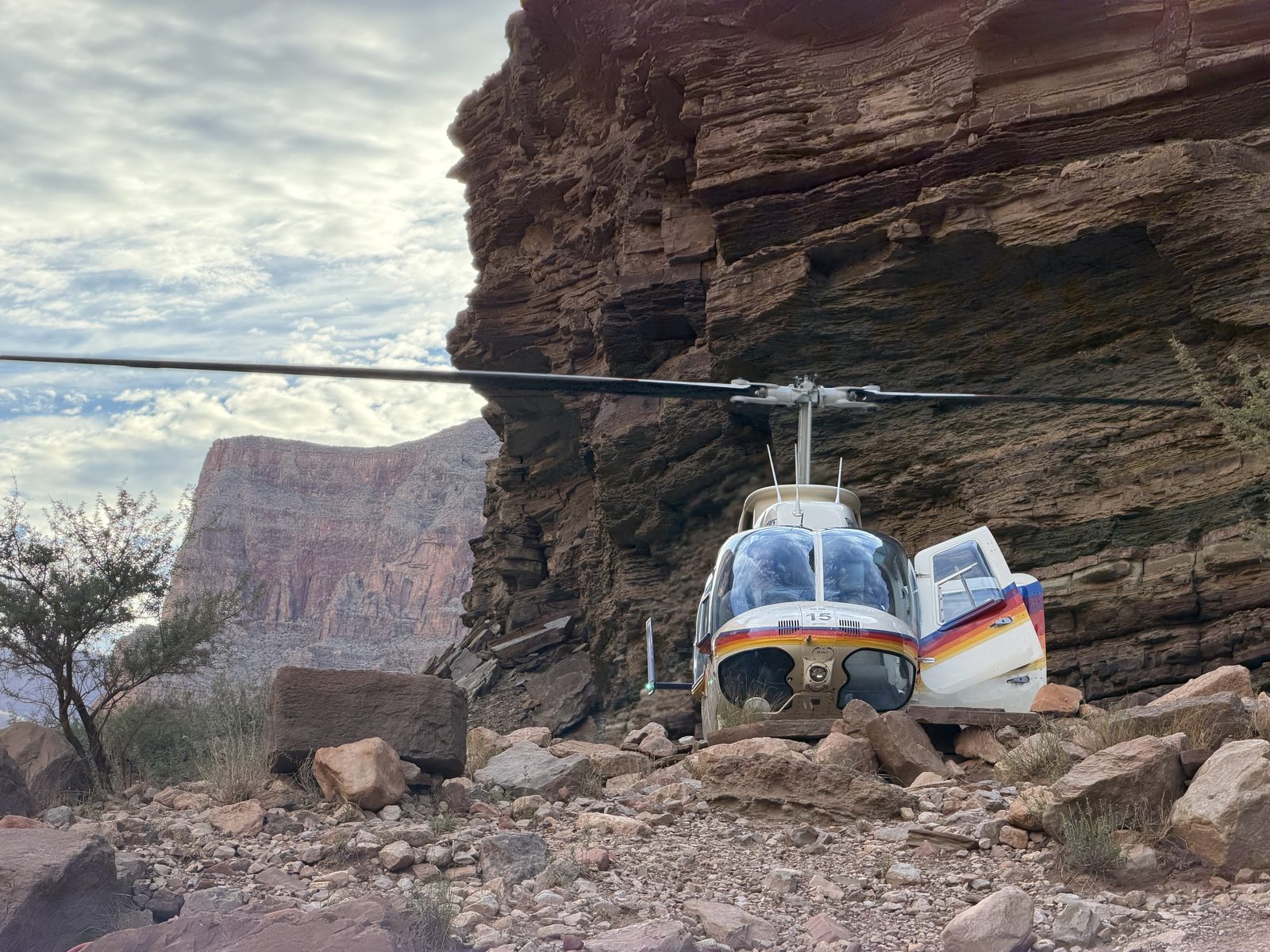
I hop into Ross’ boat again. We’re back into the schist again. See a helicopter evac for a motor crew. Word is, it’s a minor thing and they’ll be fine. Minor things tend to become major things when you’re this deep in. Misplace your insulin kit? Get brushed by a bat? A good reminder that while we are comfortable, we are definitely far from complete safety. I shall not waste my days trying to prolong them.
We see these motor crews pass by every day. Who are these strange creatures? They pass by so fast with such noise. We chat all day about geology, old songs, gondolas, and follies to the rhythm of the oars. Can they even hear the birdsong?
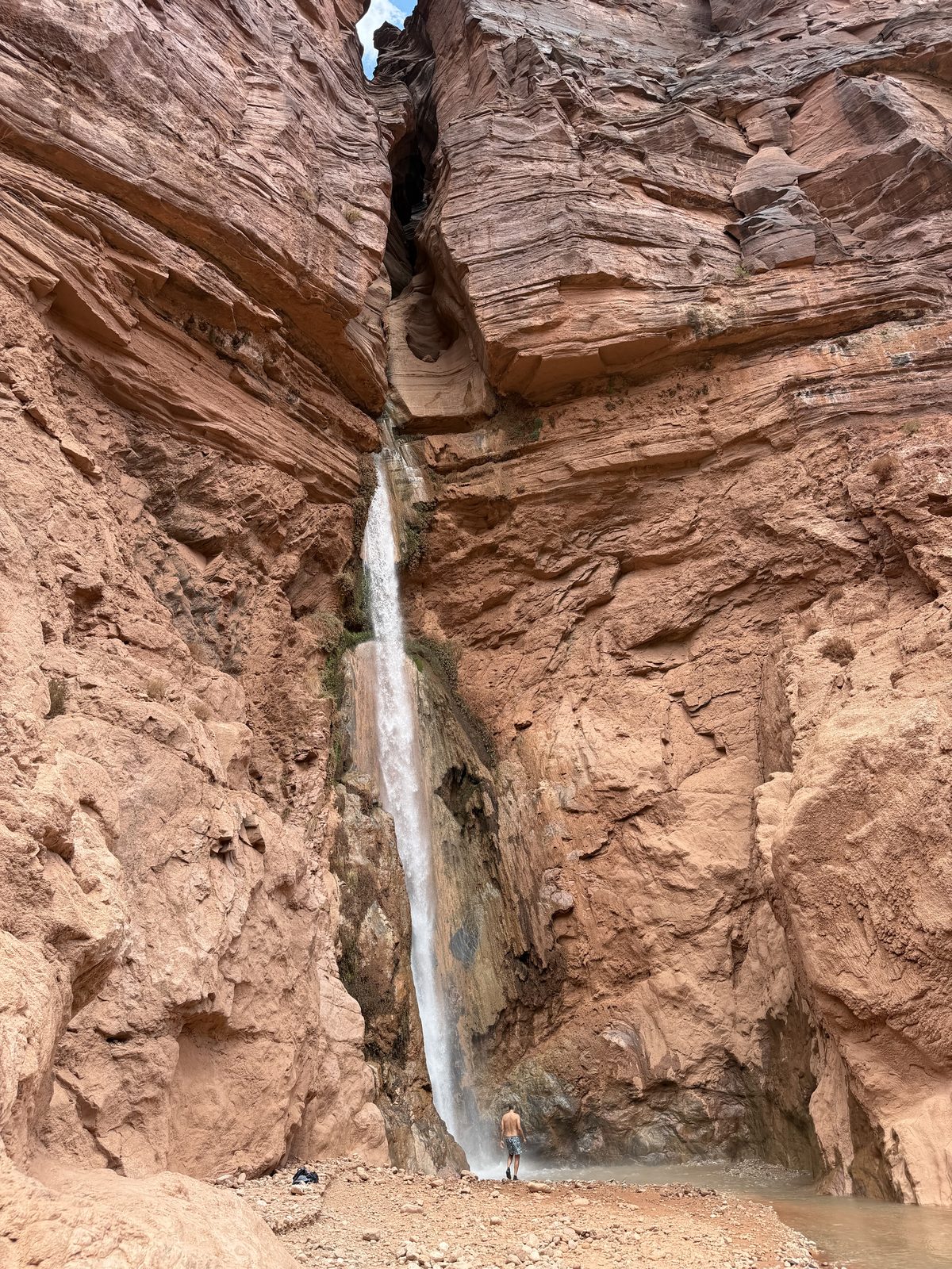
We walk our first rapid. Bedrock. A reminder of how Powell experienced most of his trip. The dories pick us up in an eddy filled with debris. Coolio takes bedrock left. Monte says he did the same in ’83, just to see it go. We walk another — Deubendorff — and watch the dories go alone from the shore. We’ll camp here, at Stone Creek. Cold, clean, water to rejoice in. Of course it’s a waterfall.
Monte scores ice from a motor trip. Feels like a good night to get whiskey drunk. My goodness I miss cold things. Ice is the ultimate luxury in the canyon. The guides barter for it every time a motor passes. They stop and chat and talk about their camp plans in the current. This is how things get coordinated in the canyon. Not ships that pass in the night. Relationships bonded by hard times, rock and silt and water and sun. There are still many great people left in the world.
Jess has made my bed. I was planning on sleeping in the sand. Silly boy. Feelings of brotherhood and love swim around my whiskey drunk mind as I stumble onto my sleeping pad.
Day 11 · Friday, September 4
The Patio
Mile 132.5 → 144.7 · 12.2 miles · 3 rapids, the biggest Tapeats (5) · camp at Hell’s Kitchen, 4:01 p.m.
Water
7,850 cfs Phantom Ranch mean · 7,090–8,940
Heat
95° / 70° floor, est. · station silent · rim 79° / 45°
Eleven days. I only know because I’m keeping a journal. When did we start this? How much longer will we be here? I’ve no interest in knowing.
We’re packing lunches today. Bobby comes in clutch with a Payday recommendation — no chocolate to melt.
I hop in Don’s boat again. I came into this thinking I wanted some kind of system to rotate around boats and people. Frontcountry thinking. Don feels right today so I’m with him.
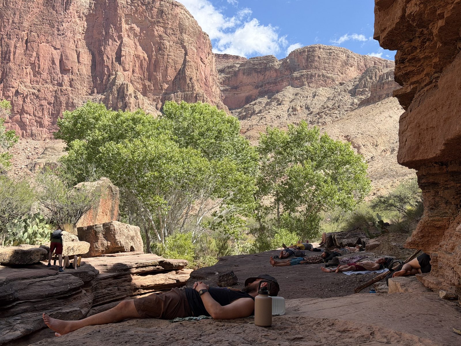
We hike up to the patio. More landscapes that defy description or capture. My words, my pictures, my videos, they all fail the experience.
Back in the electrical schist, Maile made a sly remark that I should ask to ride with her in one of the baggage boats some day. Today we make it happen. Maile might be restoring my faith in the Youth. She is deeply present. Listens intently. She is not wasting her days. I try to row the baggage tank and barely make any progress downstream in the headwinds. I don’t need to mention she’s stronger than I’ve ever been. And she takes and gives shit well. It is the groover boat after all.
Day 12 · Saturday, September 5
Shade
Mile 144.7 → 165.1 · 20.4 miles · 3 rapids, the biggest Upset (8) · camp at below Tuckup Canyon
Water
7,490 cfs Phantom Ranch mean · 6,760–8,470
Heat
97° / 66° floor, est. · station silent · rim 80° / 42°
I wake to a stunning sunrise. Another stunning sunrise. Bobby’s making pancakes with simmered apples in cinnamon butter. These people are making me feel inadequate about my camping meals.
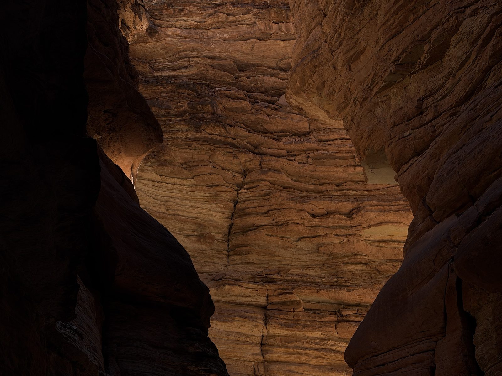
I hop in Monte’s boat and Jameson joins me in the back. We’re rowing through the Muav Gorge today. I’ve nearly given up taking photos. No media will ever be able to describe the canyons we saunter through. Stepped limestone gives way to red towers draped with cascading springs feeding hanging gardens that pour into the river.
The shade is nice.
Monte puts Jameson on the oars. Jameson is an assistant on this trip. Lowest on the totem pole. This is his first time rowing a dory. Monte keeps him on through a rapid. And another. And another. Jameson is visibly flustered, but keeps going. He’s doing great. Only came close to sinking the boat once. His girlfriend is watching from her baggage raft behind us like a hawk. Monte is cool and confident. This is how lessons are taught on the river.
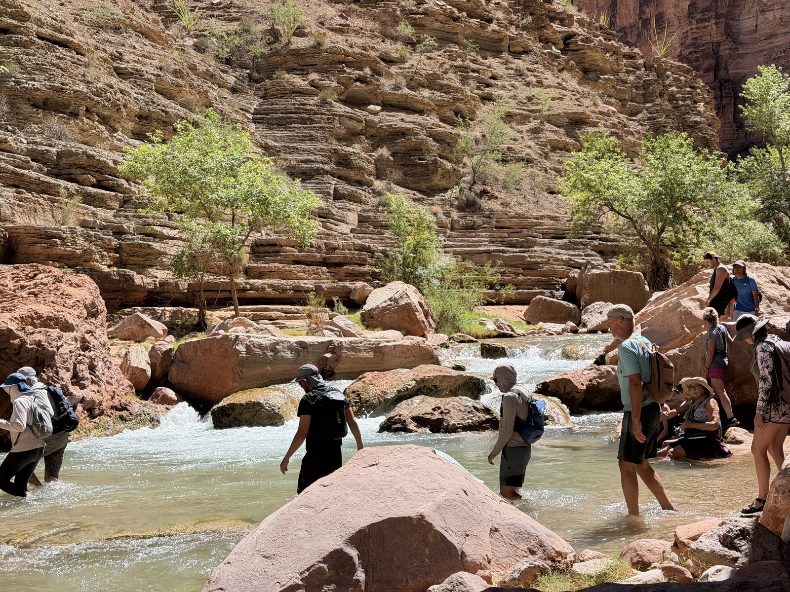
We pull into Havasu. More impossible landscapes. “Lots of good frolickin’ about.”
We continue down the Gorge and Patrick starts singing old camp songs up front. Never heard ol’ camp cookie sing.
We’ll camp at Tuck Up tonight. I start to realize that this trip does have an end. We’ll let that go for a minute.
Day 13 · Sunday, September 6
I am Red
Mile 165.1 → 186.8 · 21.7 miles · 6 rapids, the biggest Lava Falls (9) · camp at Whitmore Wash, 3:24 p.m.
Water
7,216 cfs Phantom Ranch mean · 6,530–7,940
Heat
89° / 74° floor, est. · station silent · rim 75° / 56°
Rain
.02 in North Rim
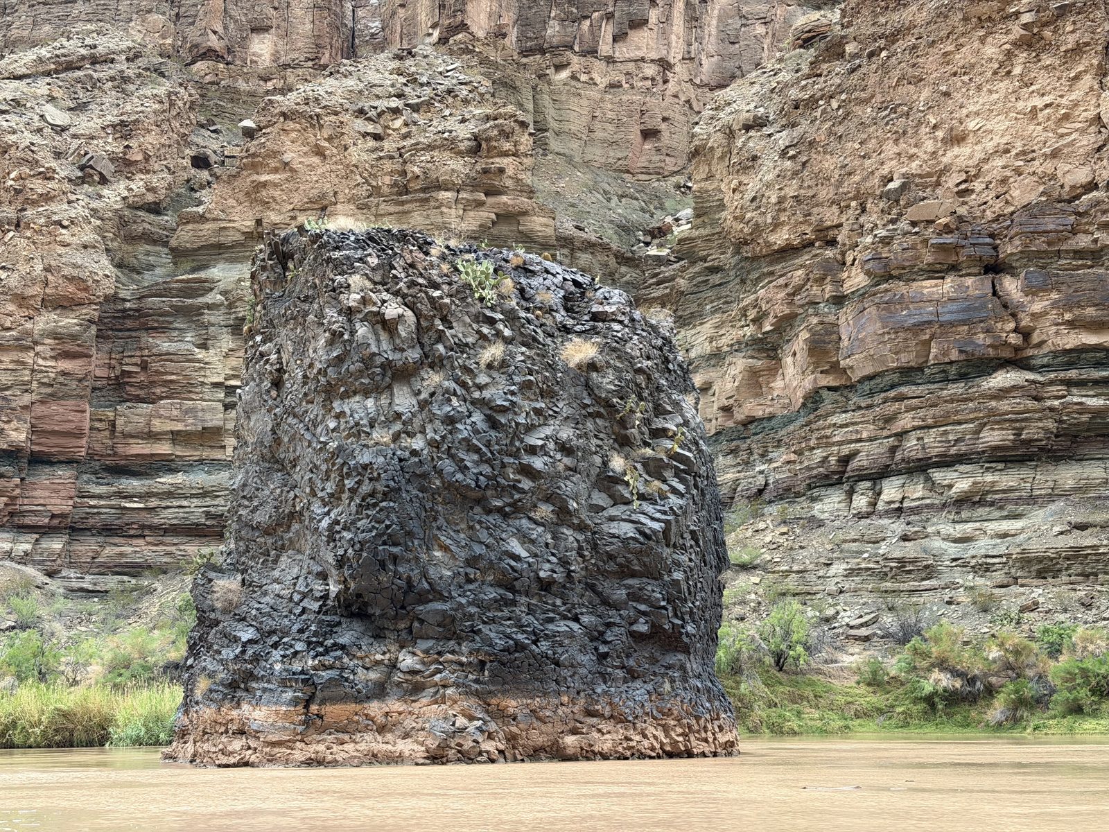
Quigs starts us off with a poem. I’ll hop in his boat for our last day on the river. We enter a new realm of basalt. Baby rocks. Lava once flowed over the canyon walls and formed a dam here. Red found a way around that one too.
Quigs is a powerful boatman. Before each big rapid he takes deep sighing breaths. Hard backstrokes come with grunts. He nails Lava and whoops for joy. We’ll each lunch across from Tequila Beach and it’s really hitting me now. This is coming to an end.
We float through a powerful creosote aroma the rest of the day. We camp at Whitmore wash. The end of the river for us. An exchange. How can these boatmen take on sixteen new people at this point in the journey? I can’t begin to understand.
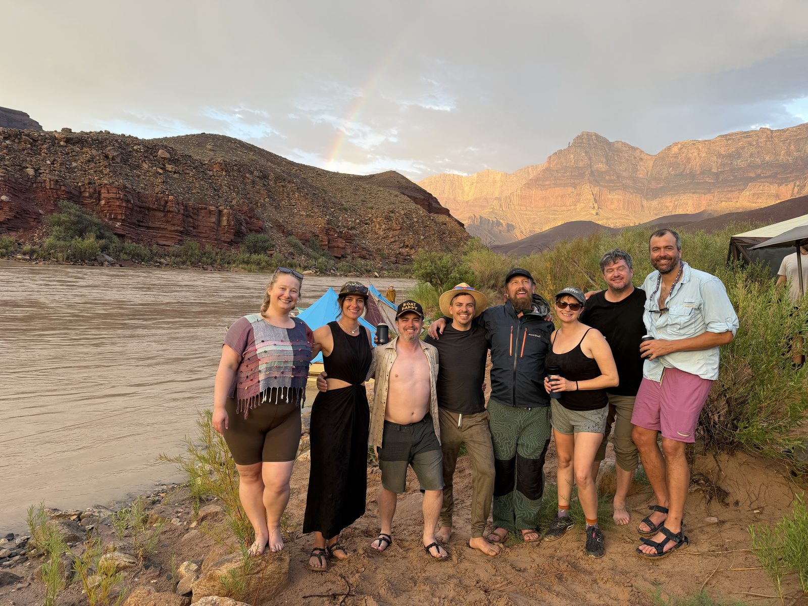
It’s our last night and Patrick teaches Maile how to play the didgeridoo on the pvc umbrella pipe. He sings a song for the boatmen. The sky puts on a show.
Day 14 · Monday, September 7
Helicopter Tears
Mile 186.8 to the helicopter beach
Water
7,155 cfs Phantom Ranch mean · 6,470–7,860
Heat
93° / 70° floor, est. · station silent · rim 79° / 50°
Rain
.02 in North Rim · .01 in South Rim
I did not know what to expect, but I know now the inadequacy of language.
I know that I will yearn for the canyon and her moods. The rhythm of life with boatmen and their dories. Of the river and her silt. The rocks and their memories. A place so Grand it escapes description.
Fourteen days on the river. A new rapid born. Old Red remembering the ways of canyon making. Reminding us of our place in the world.
Unexpected tears came over me as I watched the river fade away ascending the rim. I don’t know if I will return, but I will always be there.
The log · Fourteen days in one table. Nothing here is a memory; every cell is a measurement, and every row is a day. The miles bars share one scale; ◆ is a side canyon, ● the night’s camp, and each tick below a bar is a rapid at its mile, taller for a higher rating, rust at 7 or more. Heat is the canyon floor at Phantom Ranch, measured until the flood and estimated after, with the South Rim airport for reference; the small bars sit on fixed scales (5,500–10,500 cfs; 40–115°) so days can be compared by eye.times and miles from photograph timestamps and geotags · USGS · NOAA